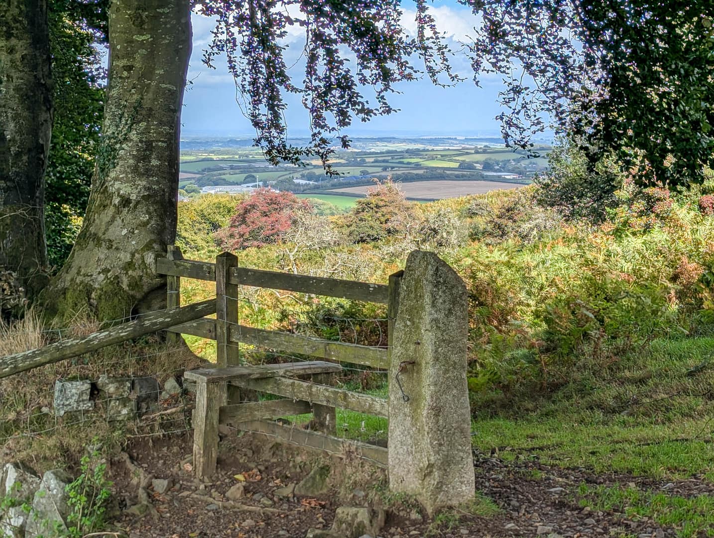
We found this walk from Okehampton on the Great Scenic Railways website. The site had a lot of information about exploring Devon and Cornwall by train, which is what we were doing. We downloaded the PDF describing the walk to our phones. The trail was pretty easy to follow, though there were a couple of places where we weren’t sure if we were on the right path, since there aren’t many signs. We’ve noted here where our experience seemed to differ from the description.
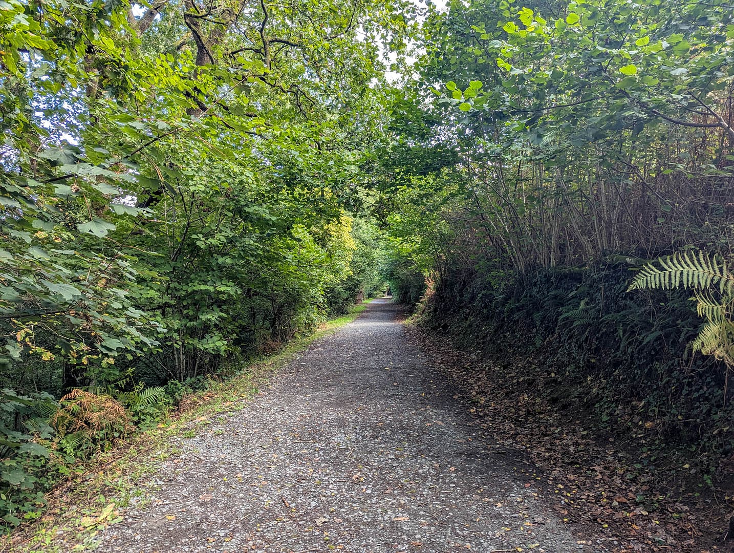
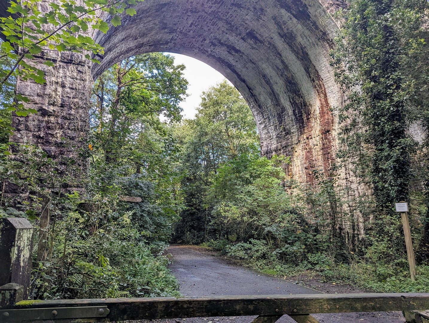
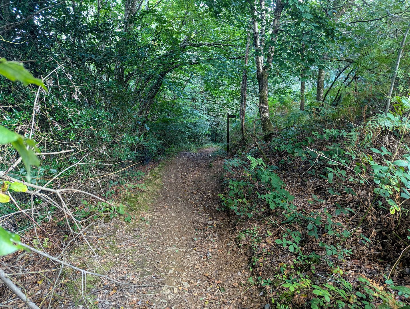
The walk starts out level on a gravel/limestone bridal path through a forest. It’s nice and quiet. We saw a few people walking dogs. After the railway viaduct you turn and start heading uphill. It’s all uphill for quite a ways. First there’s a dirt and stone part that climbs a hill, followed by a level spot near a gate where you can rest.
Then it takes off uphill again on what is described as a “grassy path,” but it’s buried in bracken (ferns) and gorse so you’re bushwhacking through that. The gorse can make you bleed. It did me. This goes on quite a ways up and angling across the slope to the right.
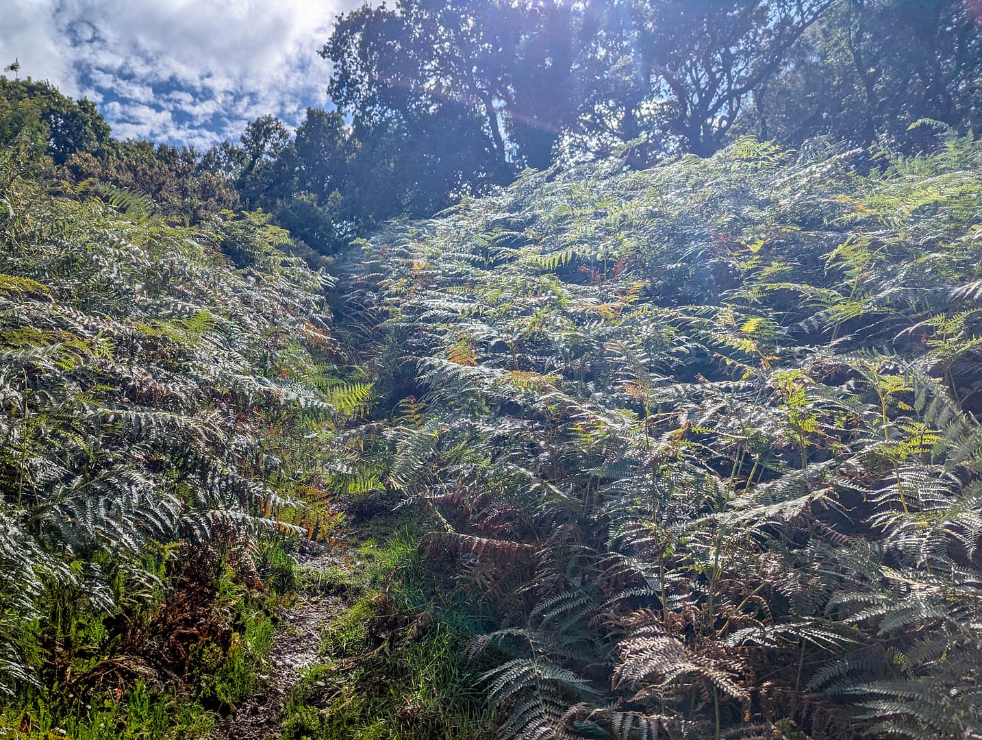
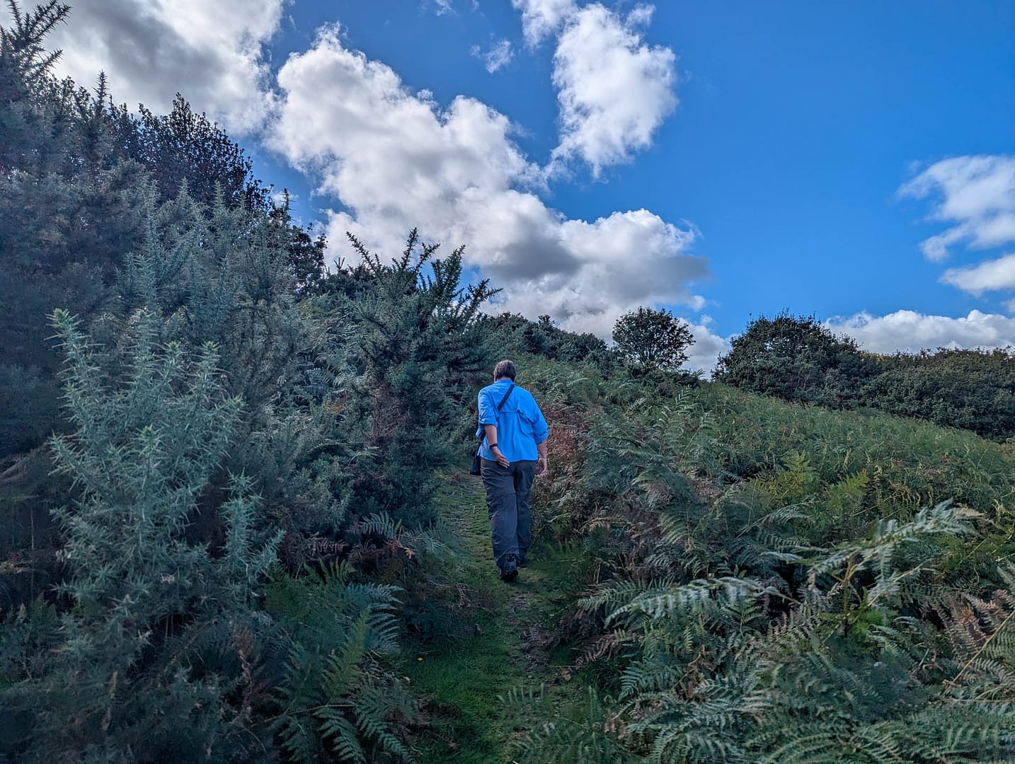
The guide says you’ll next see a line of wind blown trees in a stone wall. The stone wall is difficult to see as stone because it’s overgrown with plant life. We just headed to the right as best we could. When you reach the gate near the top, bear right away from the gate. (We conveniently ran into another human there who knew the path and the way to go.) Follow the broad grass swath up to the concrete chunks which are obvious.
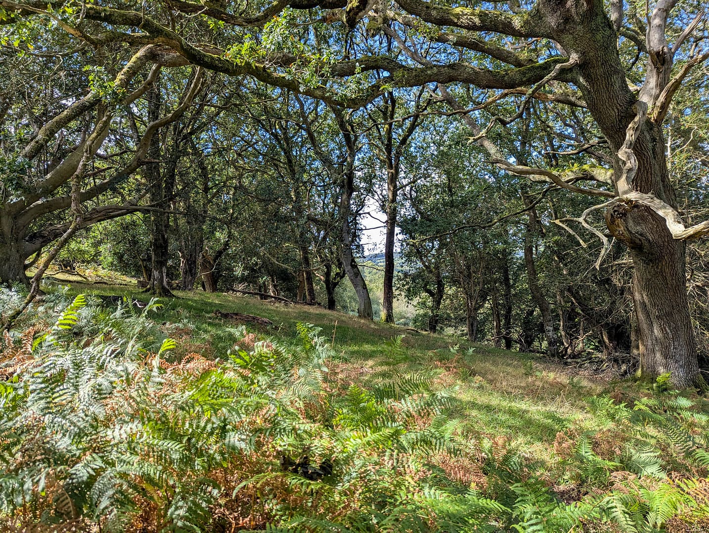
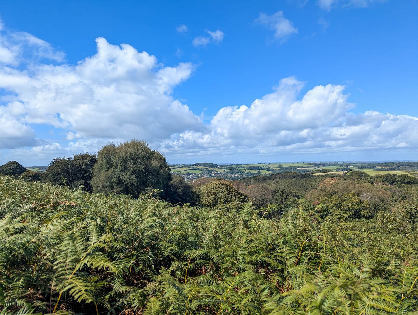
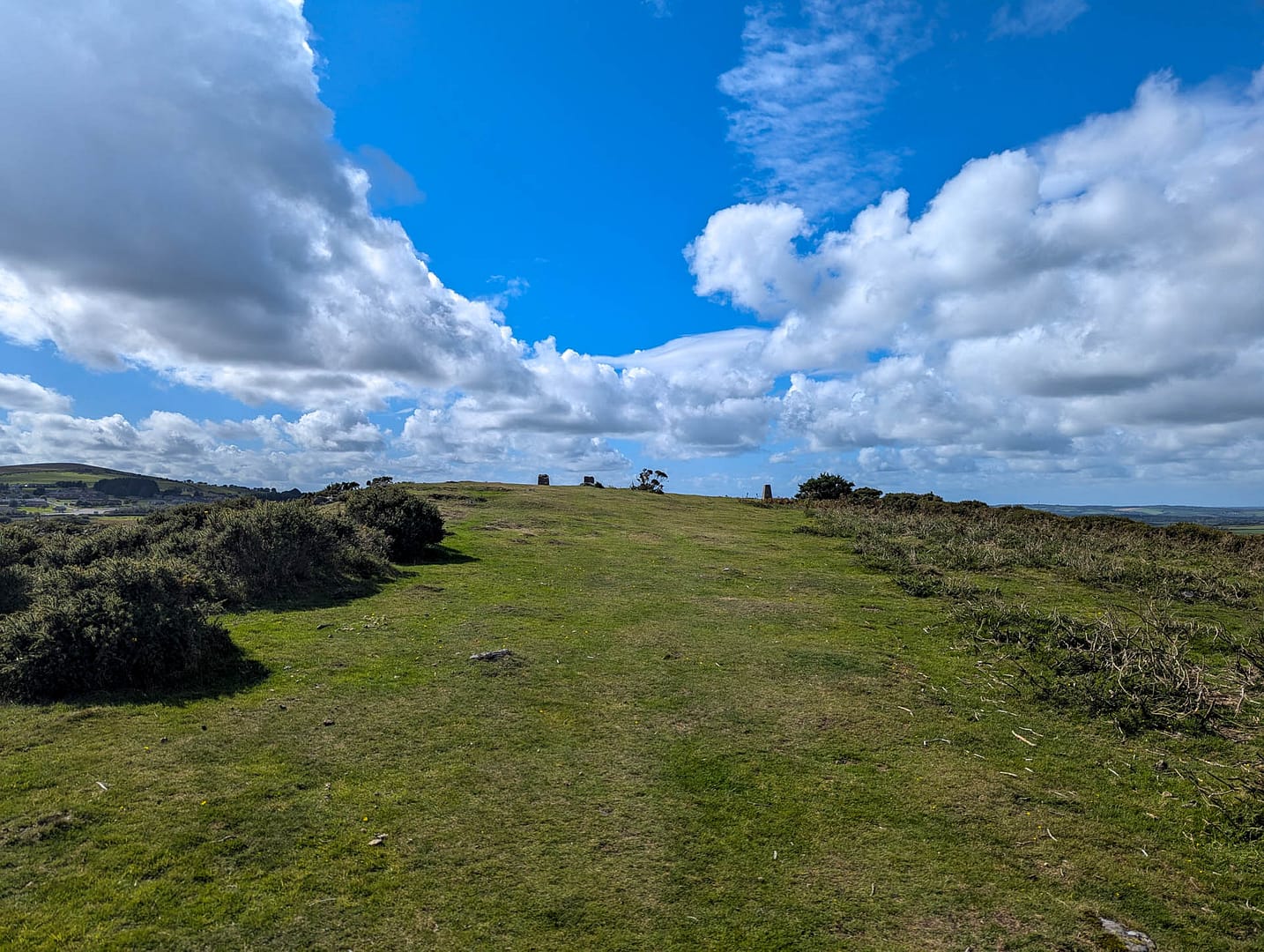
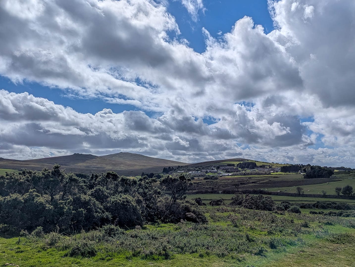
This is the top of East Hill, with views all around. Okehampton is to the north and the edge of Dartmoor to the south. This is as close as we got to Dartmoor. The hill is wide and flat on top .
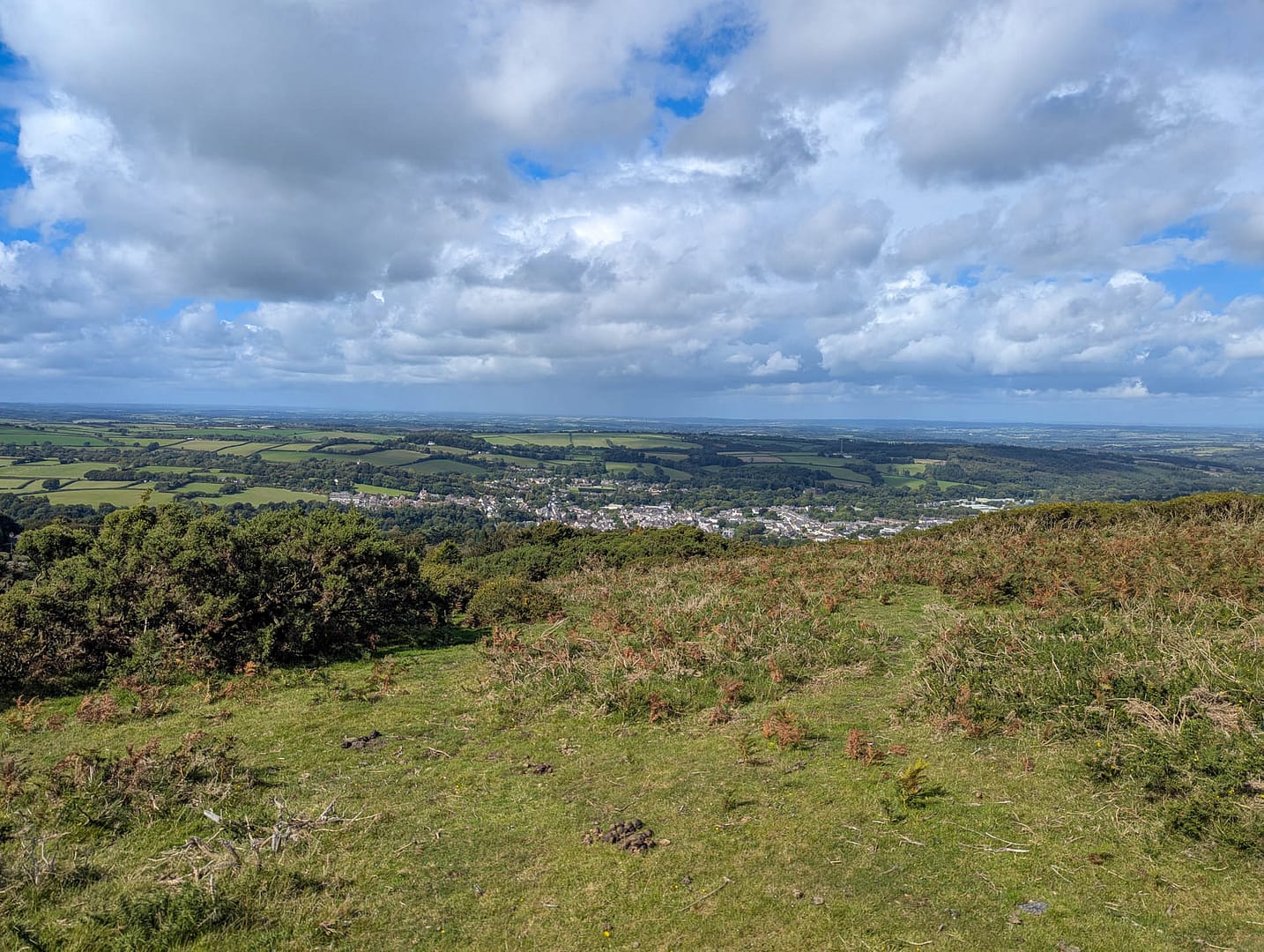
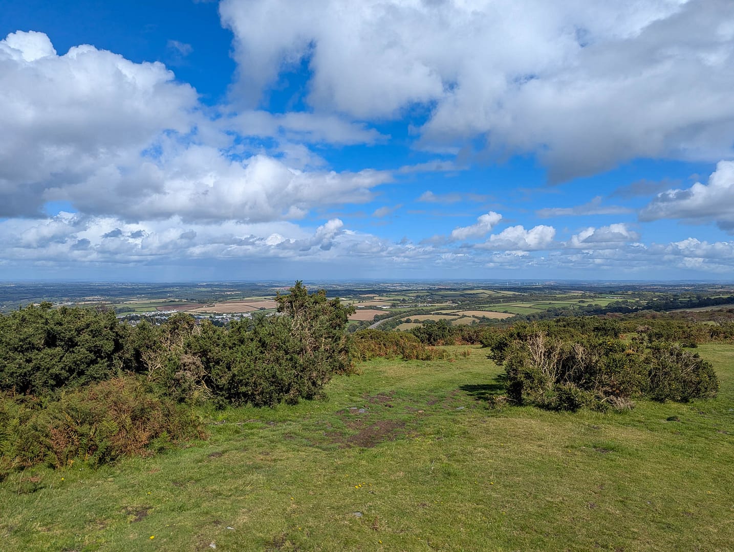
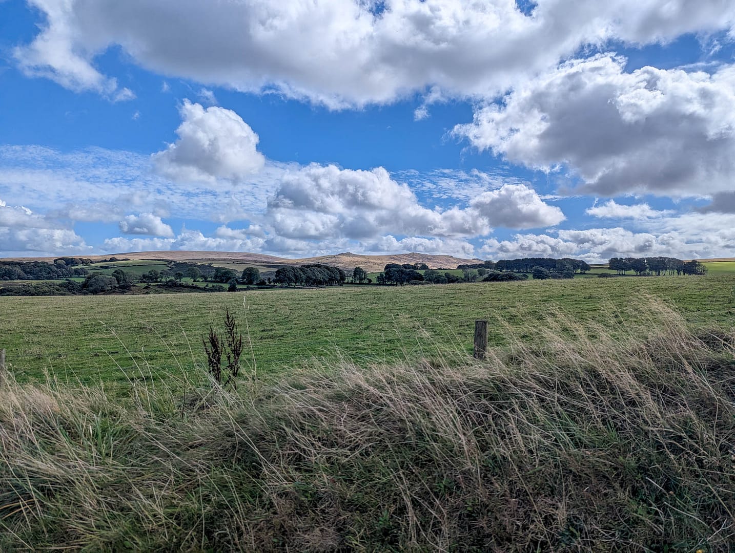
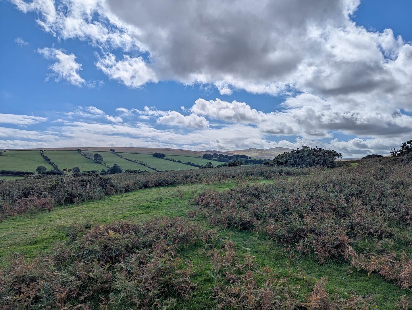
We saw ponies, sheep, and a few other walkers once we reached the top of the hill. If what you want is just the view from the hill you could just do the end of the walk in reverse to the top of the hill.
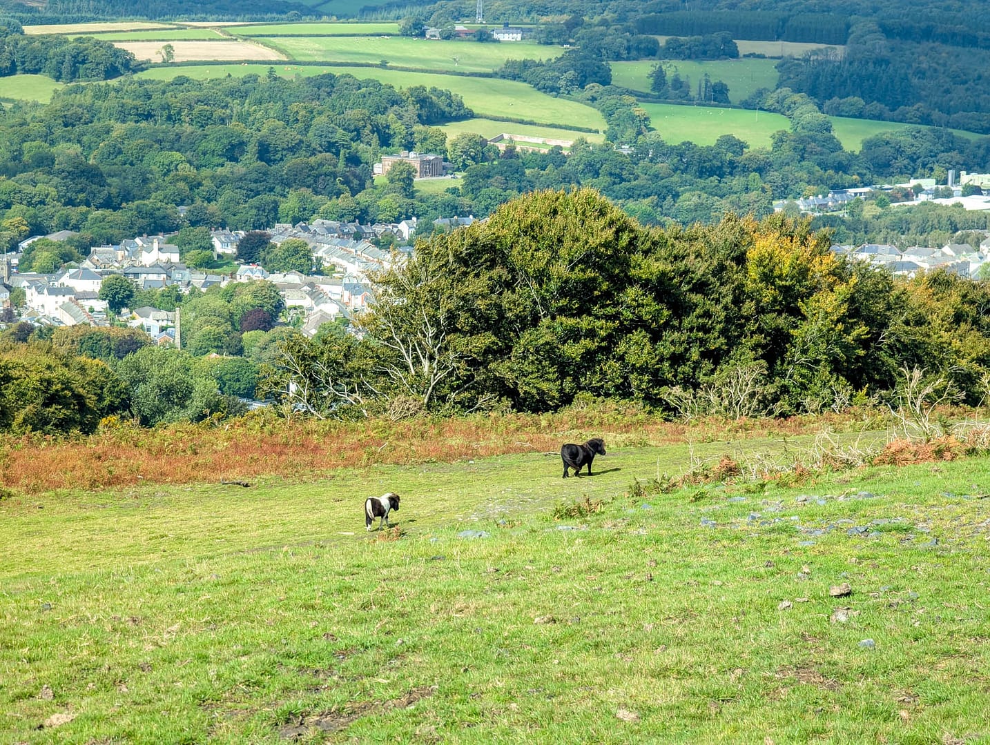
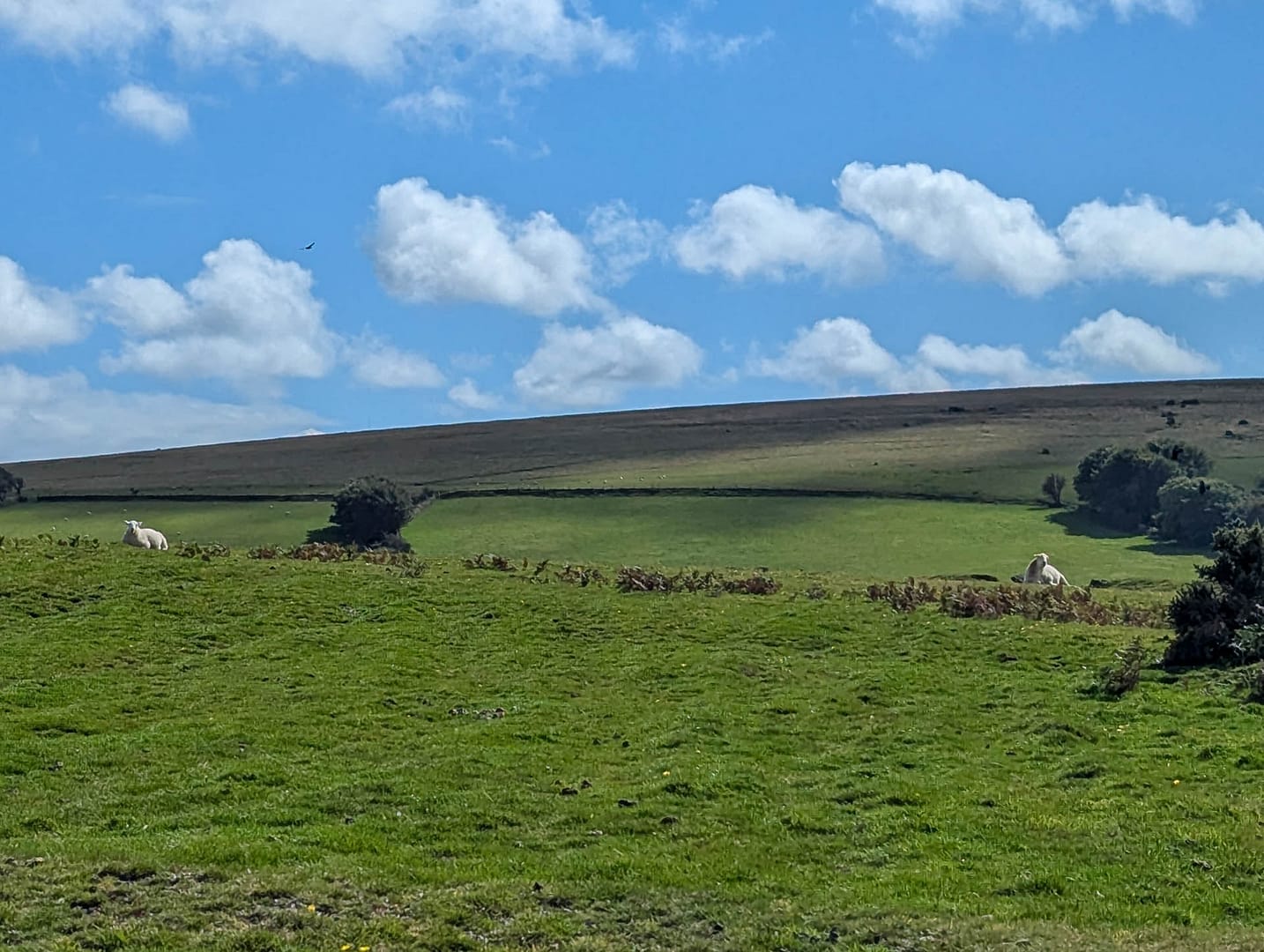
When you’re done soaking in the view, carry on straight over the brow of the hill. You’ll eventually be able to see the road below. We followed the road to the grassy path. After the footbridge over the highway, we went left and ended up at a narrow road. We followed that down and left and eventually could see the train station. (I think we took a different route than described once we crossed the highway.) We found the train station easily.
All in all I’d call it a moderate walk because of the long uphill stretch and the lack of signage. It would be more difficult when wet. We saw varied scenery and the views from the top of the hill were worth the trek. I’d recommend long pants and sleeves because of the gorse. (I got scraped when I had my sleeves rolled up.)