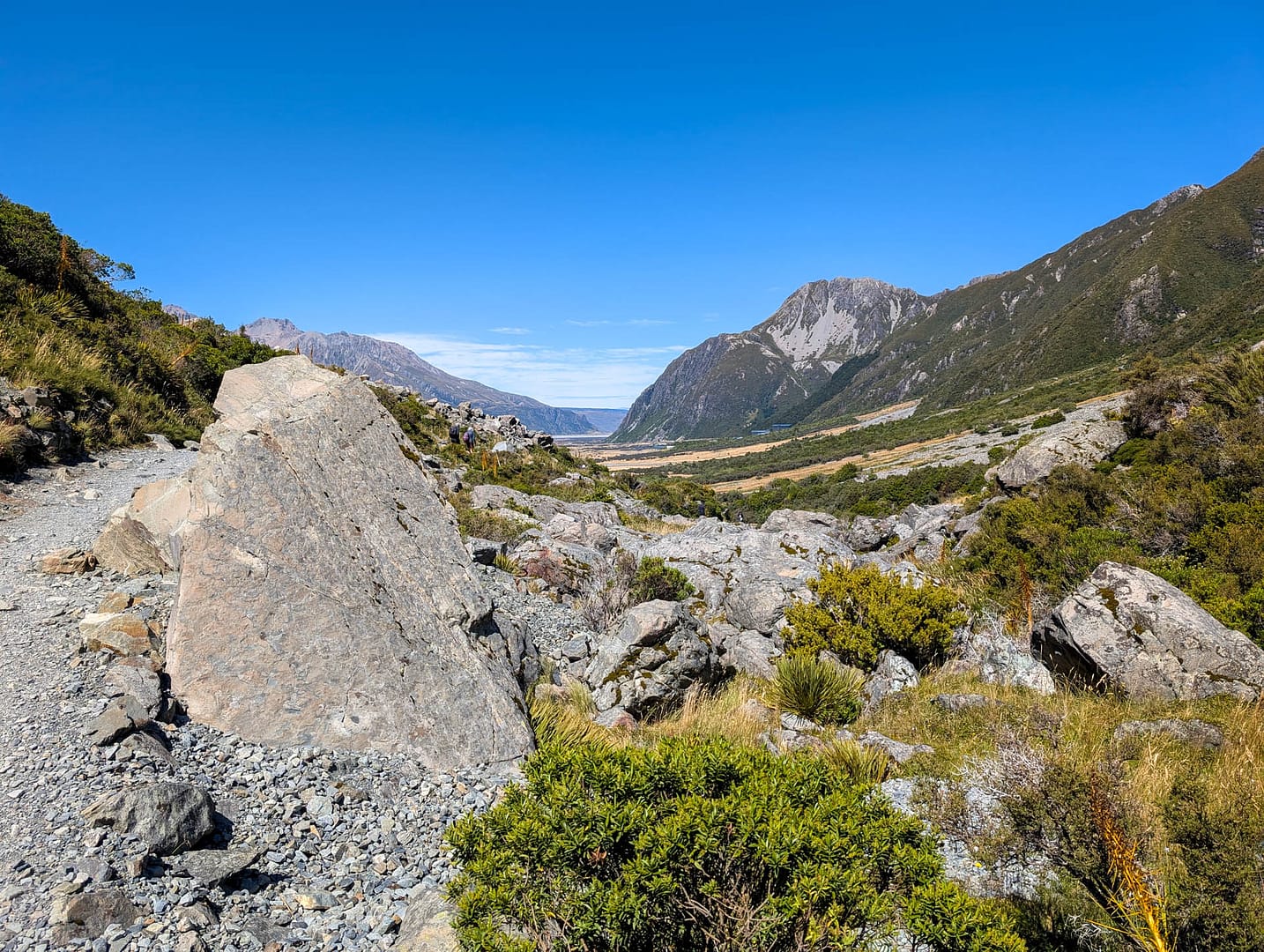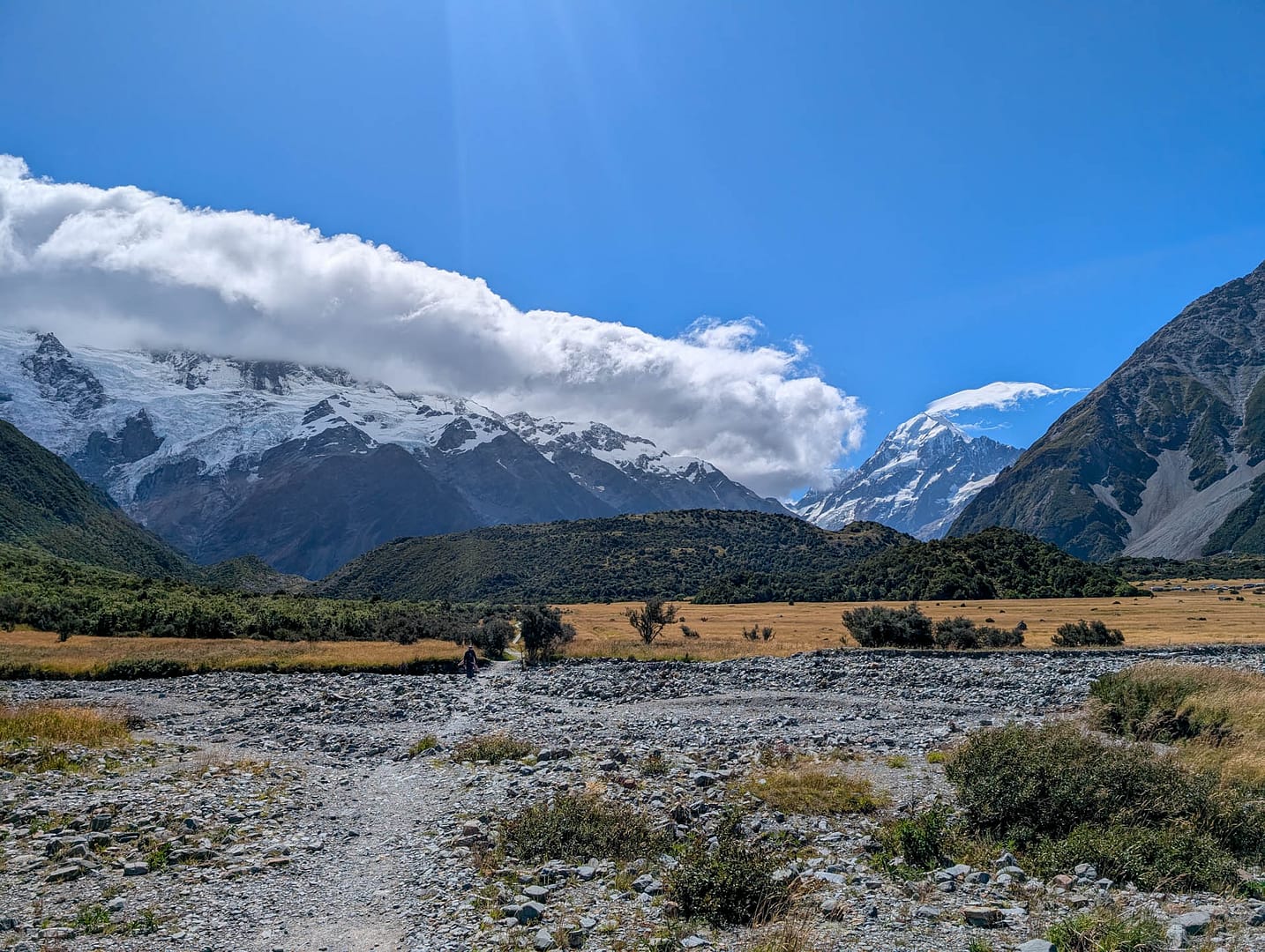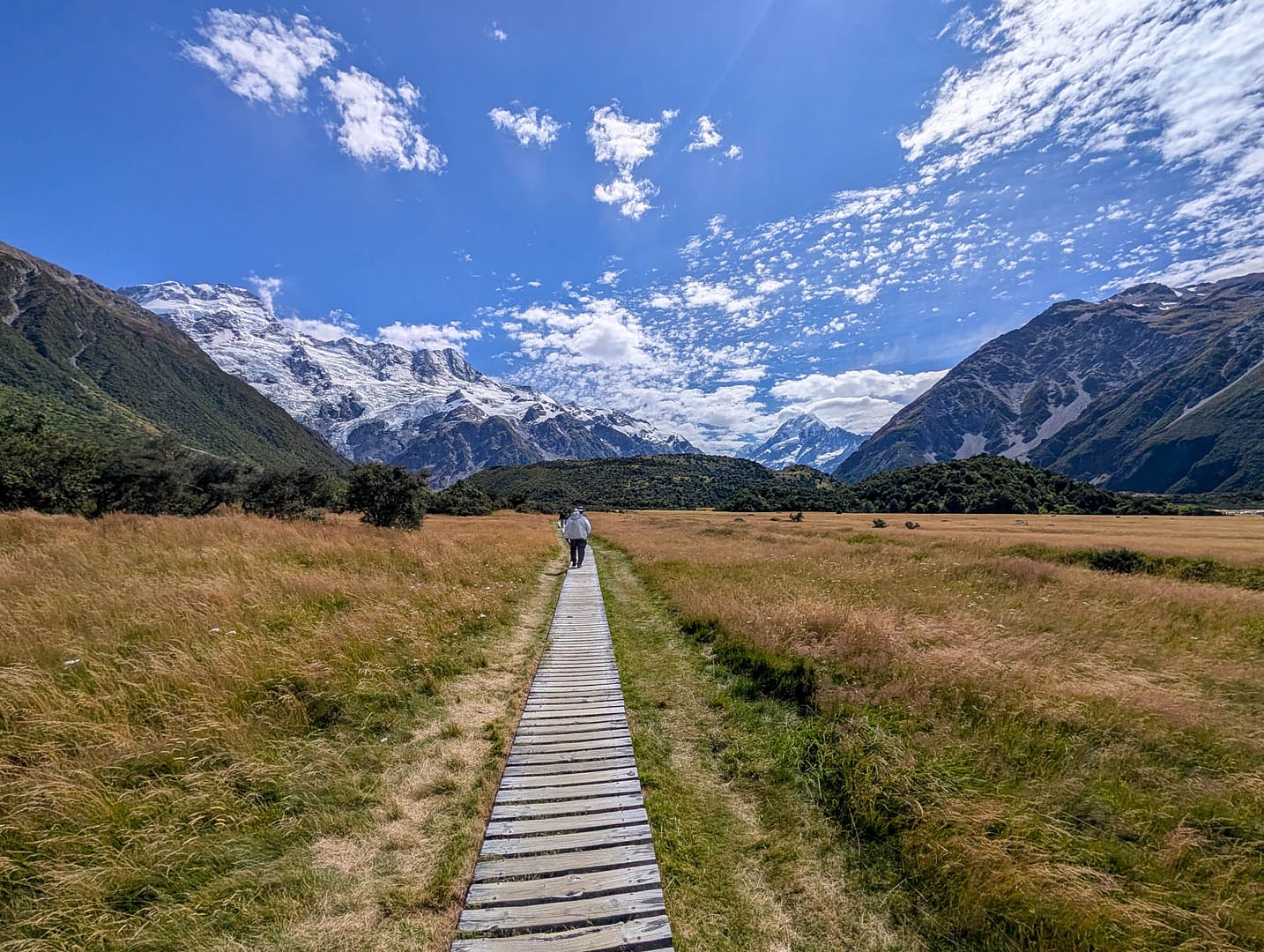
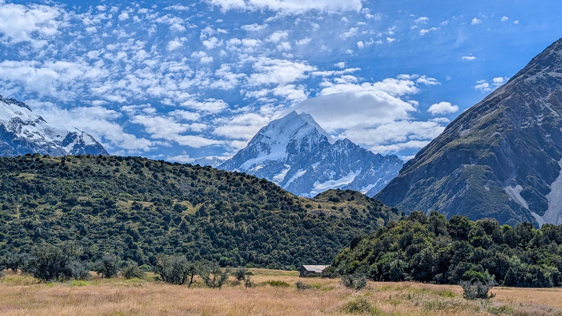
Since we were staying in the village, that’s where we started the walk from. Even before you leave the village you can see the mountains, including a peek at Aoraki/Mt Cook.
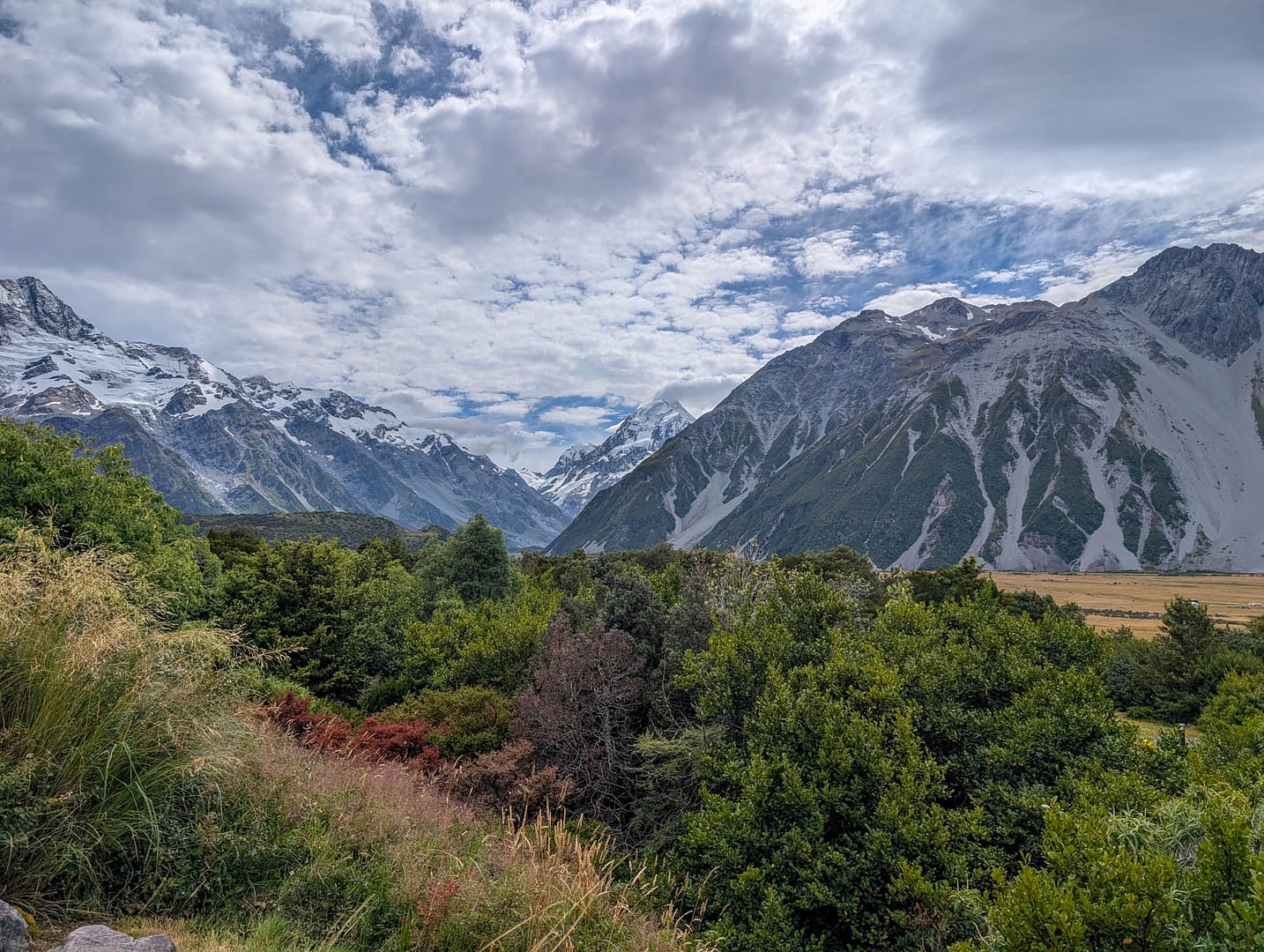
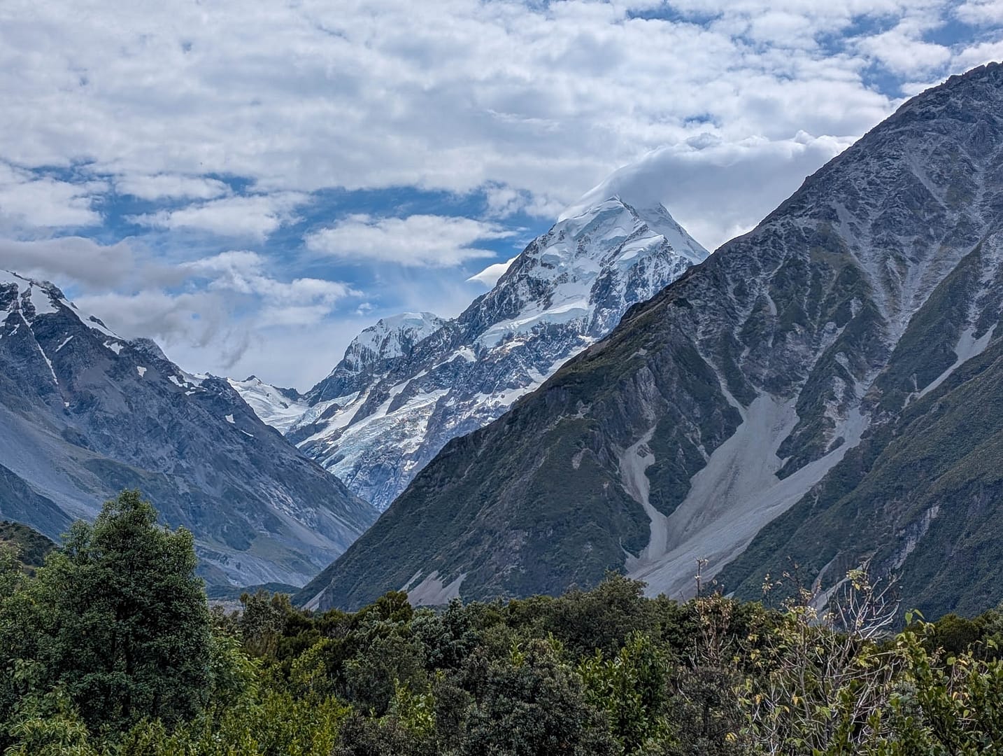
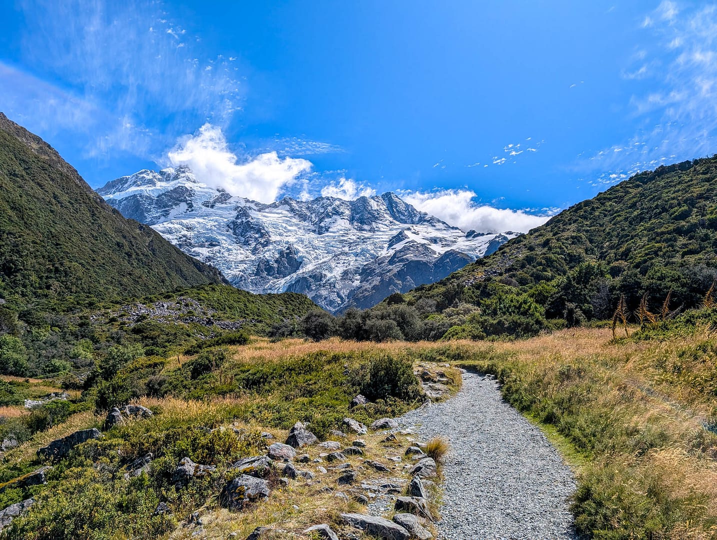
Initially the trail is gravel and winds through grasslands and lower brush.
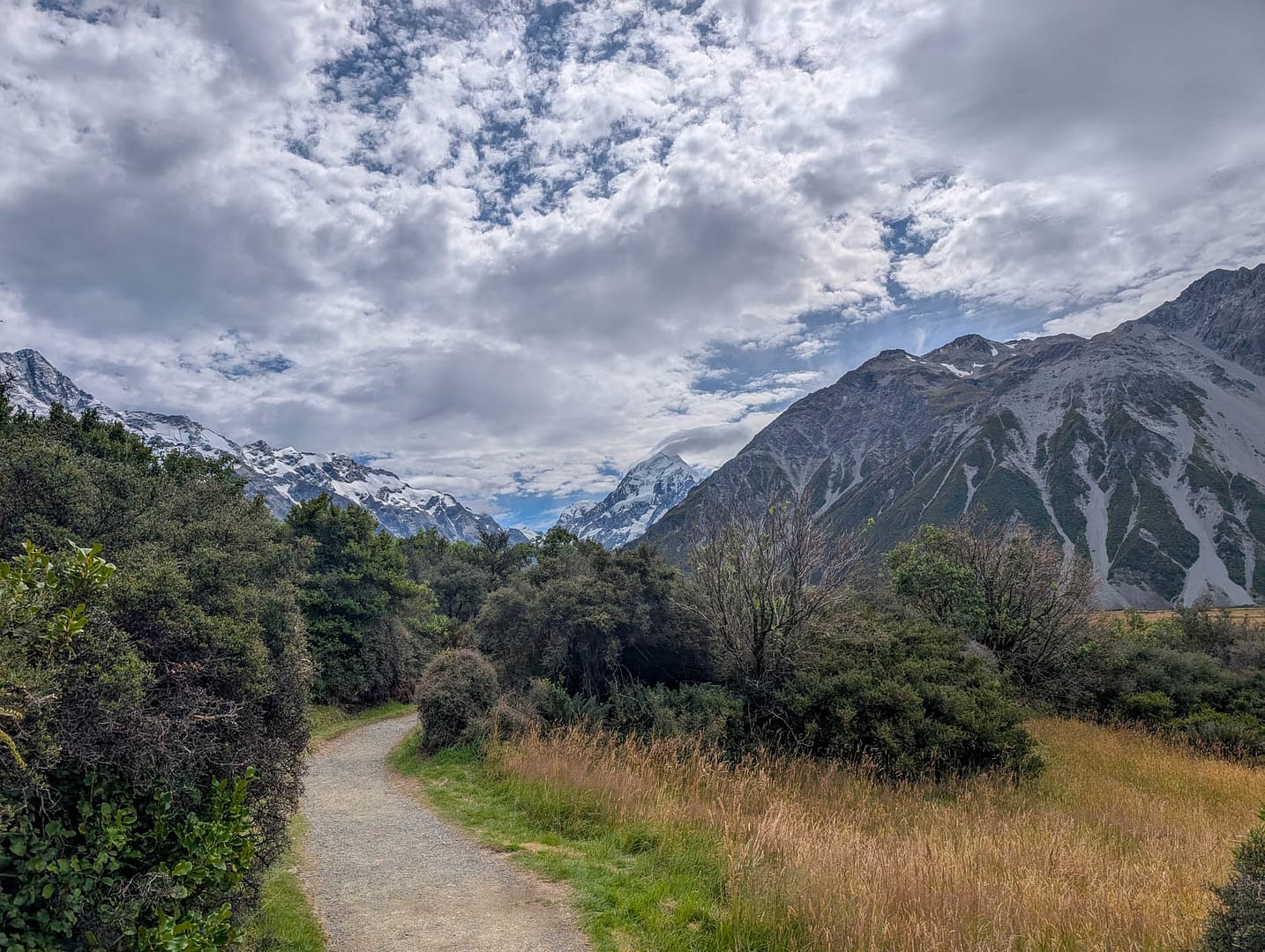
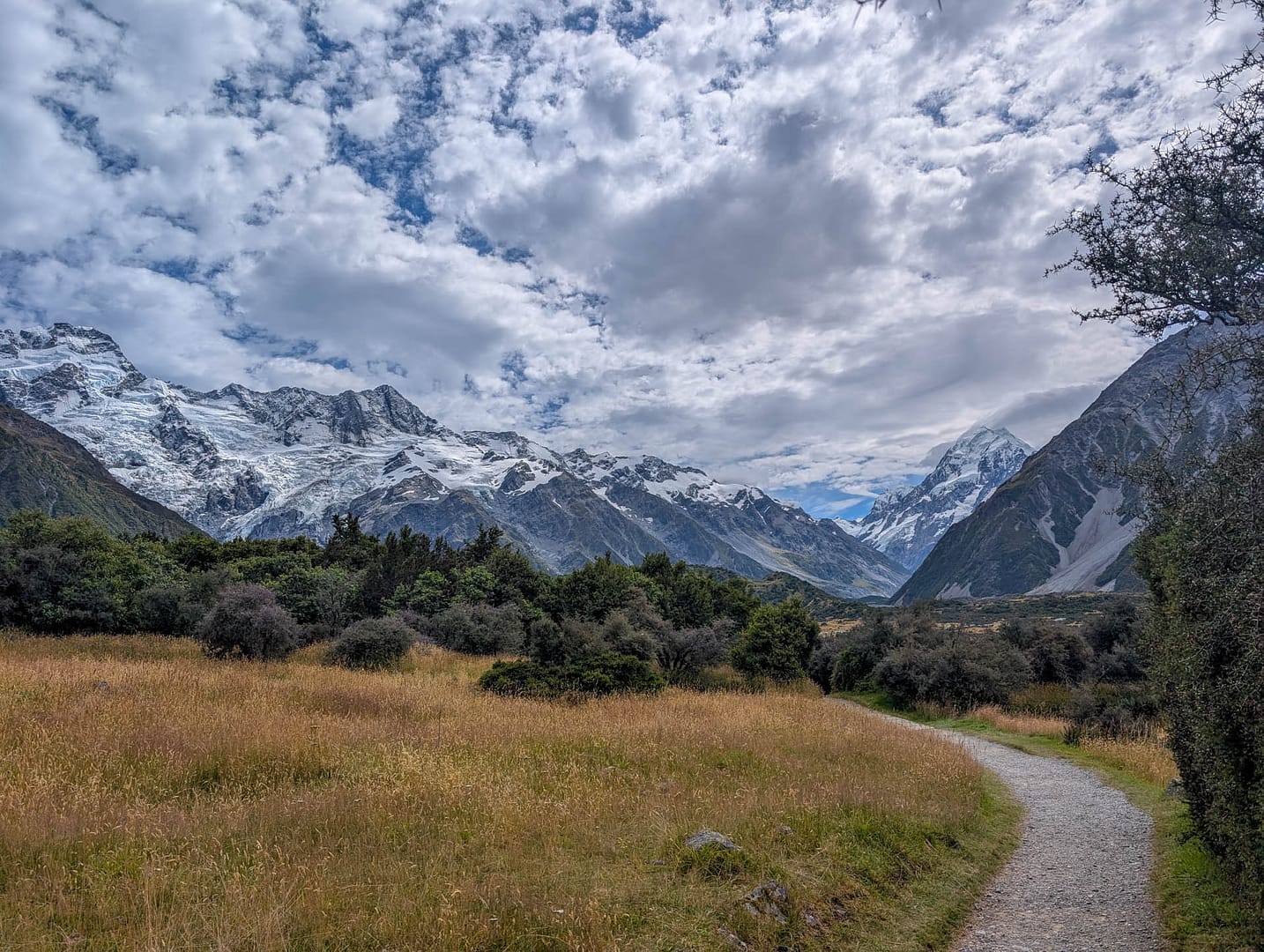
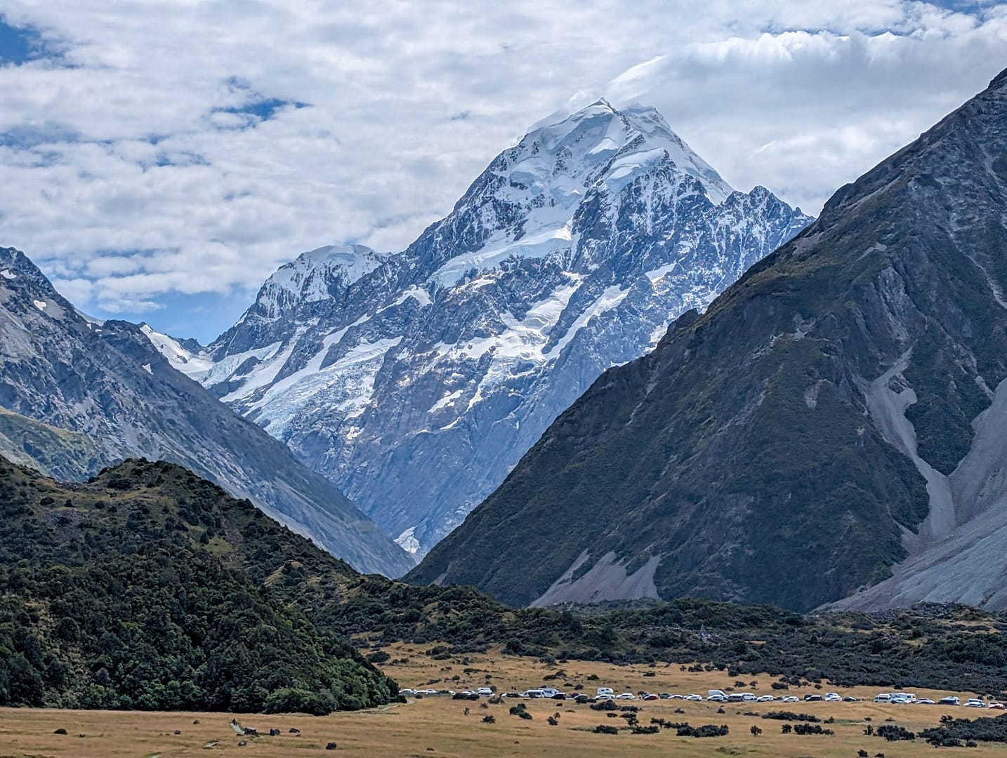
Traffic picks up on the trail once you reach the spur trail from the White Horse Hill trailhead. (This is the same trailhead as Hooker Valley. There are toilets, a campground, and a fee for parking.) Aoraki/Mt Cook just looms over the trailhead.
We had beautiful weather and glorious clouds. Here’s Steve taking a photo. I see this a lot on our trips. : )
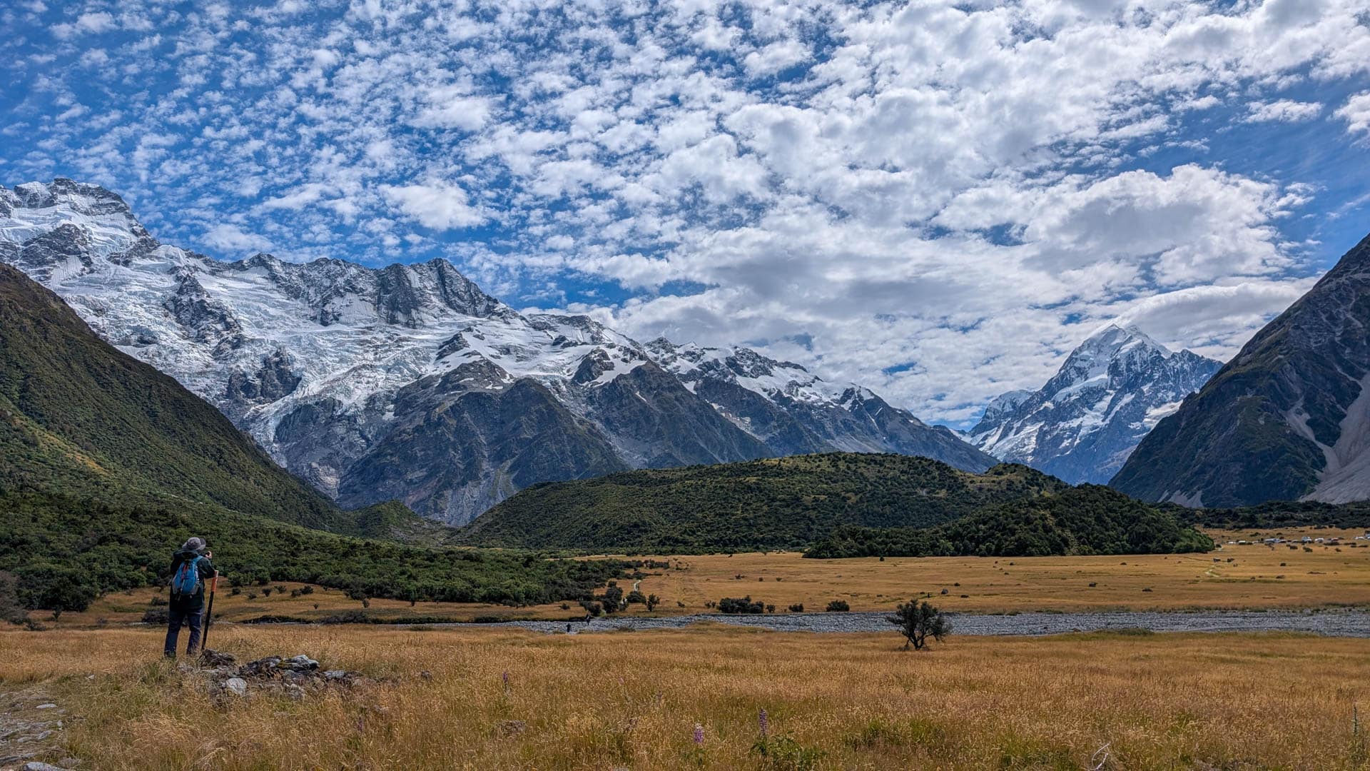
Was he taking the photo on the left, or the one on the right? They were seconds apart. One the left is Mt Sefton; on the right is Aoraki/Mt Cook.
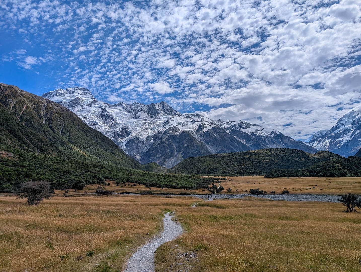
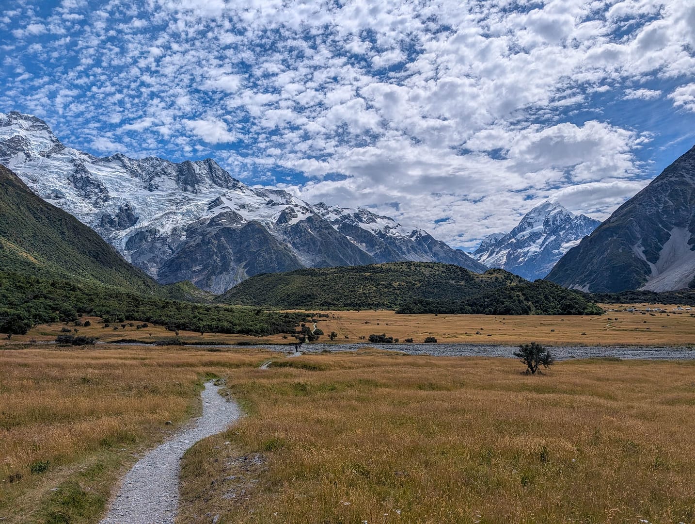
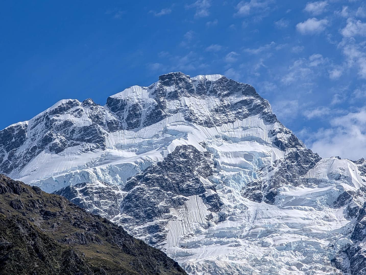
As you get closer to the mountains you can see more details on the glaciers.
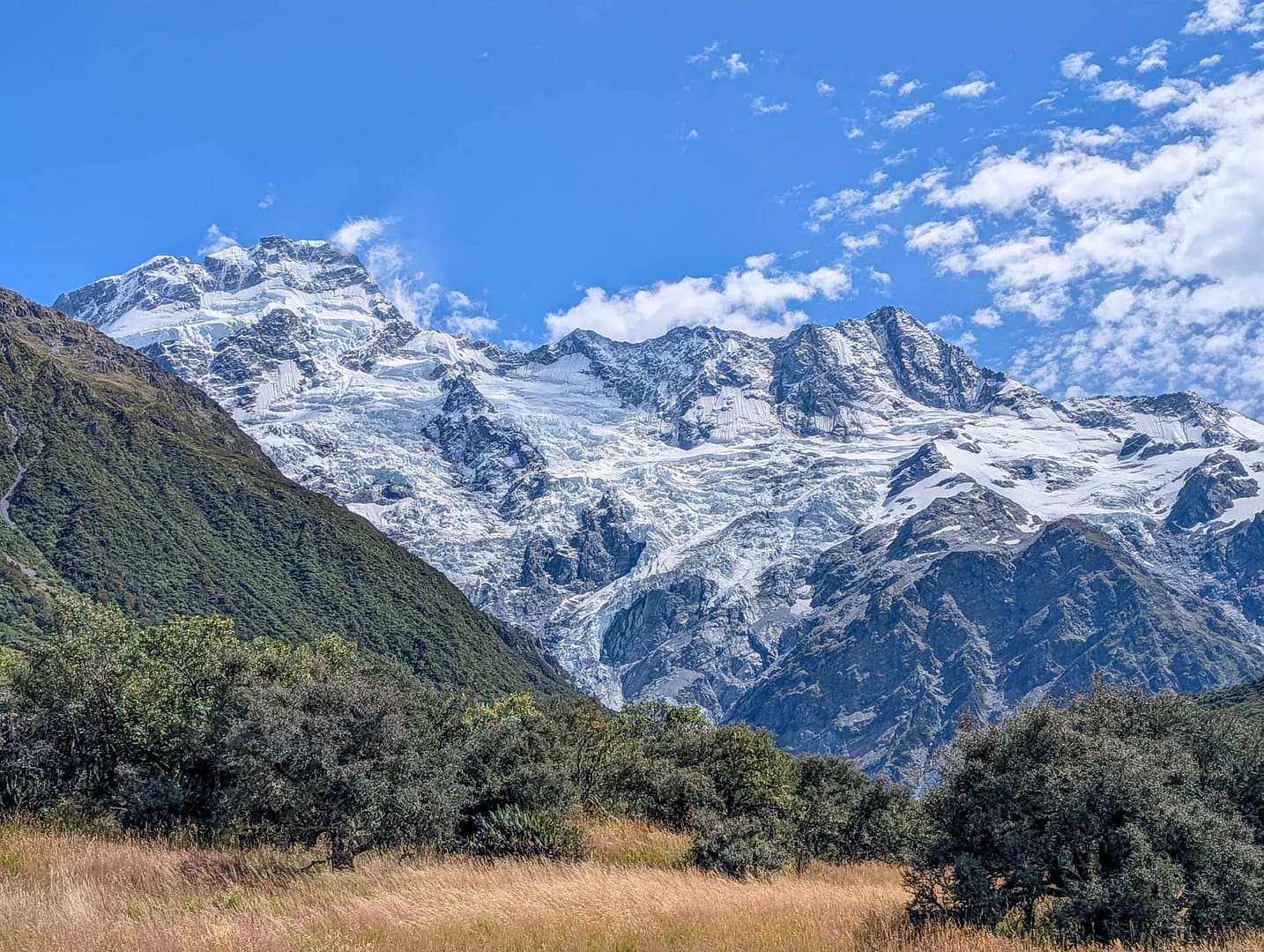
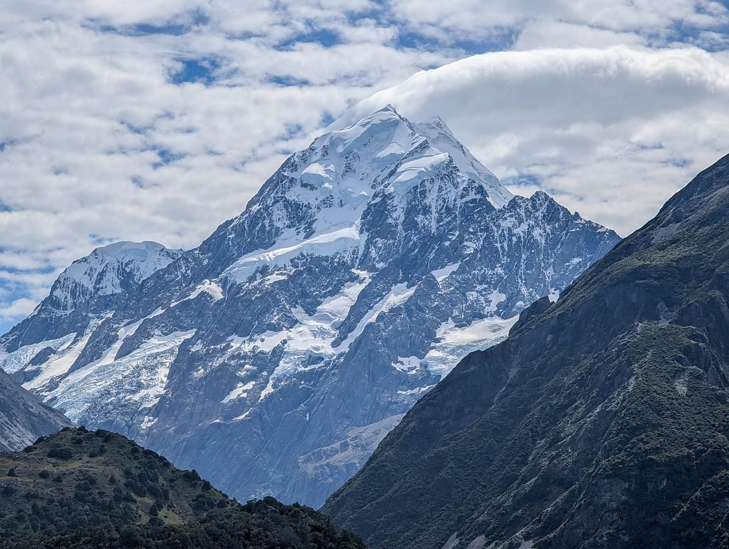
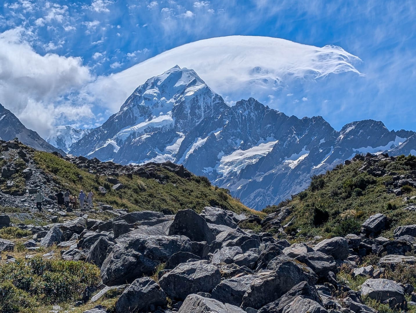
Aoraki was making its own weather that day, or at least its own clouds.
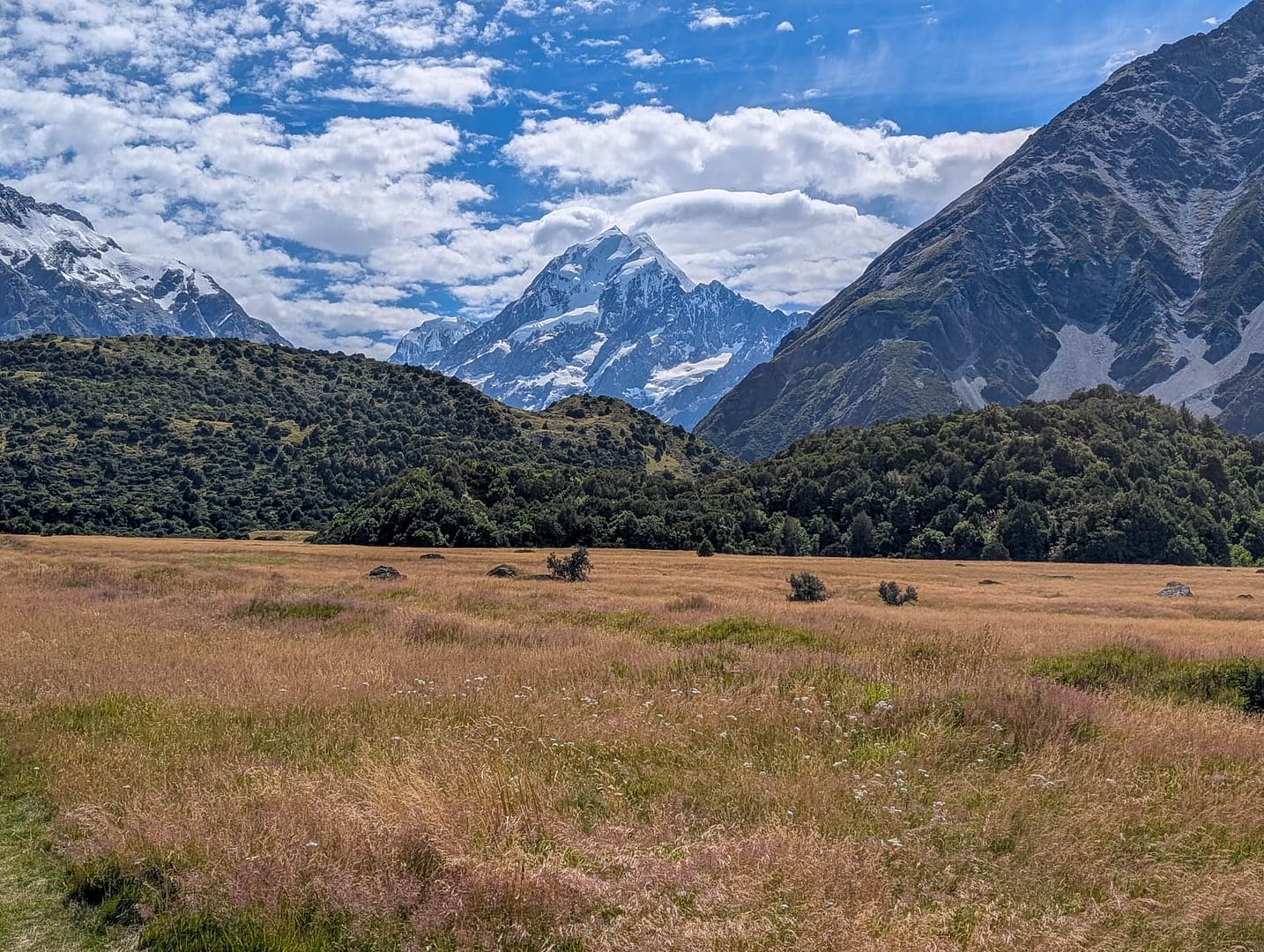
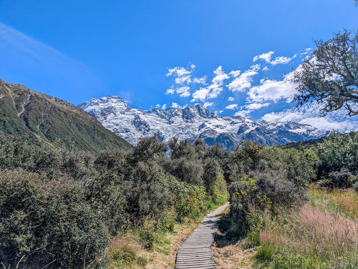
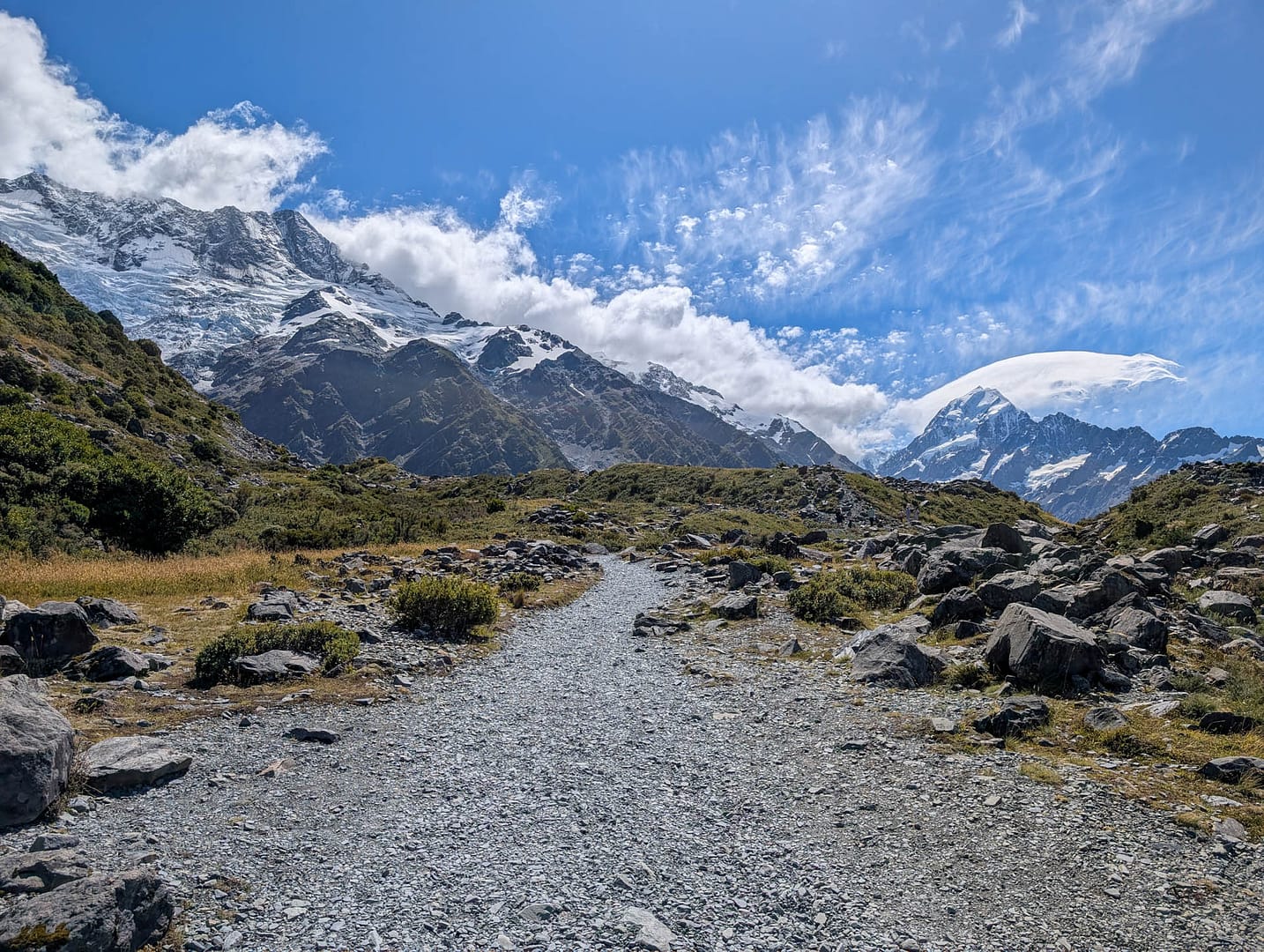
The trail is mostly gravel and small rocks, with some boardwalk sections and some rockier slopes near the end.
At the end of the trail is a viewing platform and many convenient rocks for a rest.
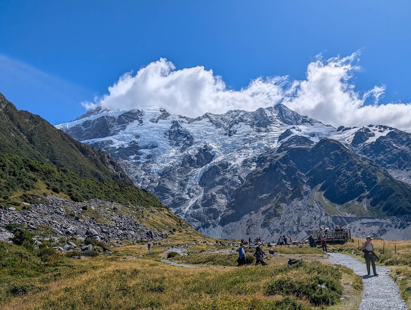
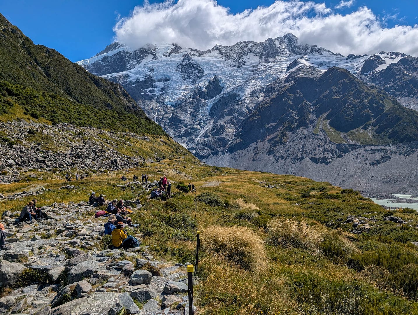
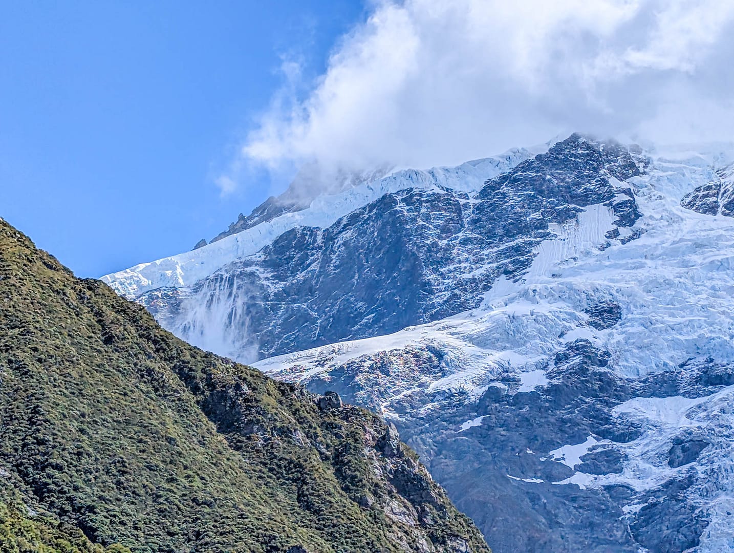
We caught an avalanche or two while we were there. You also get a good look at glacial moraines and glacial water runoff.
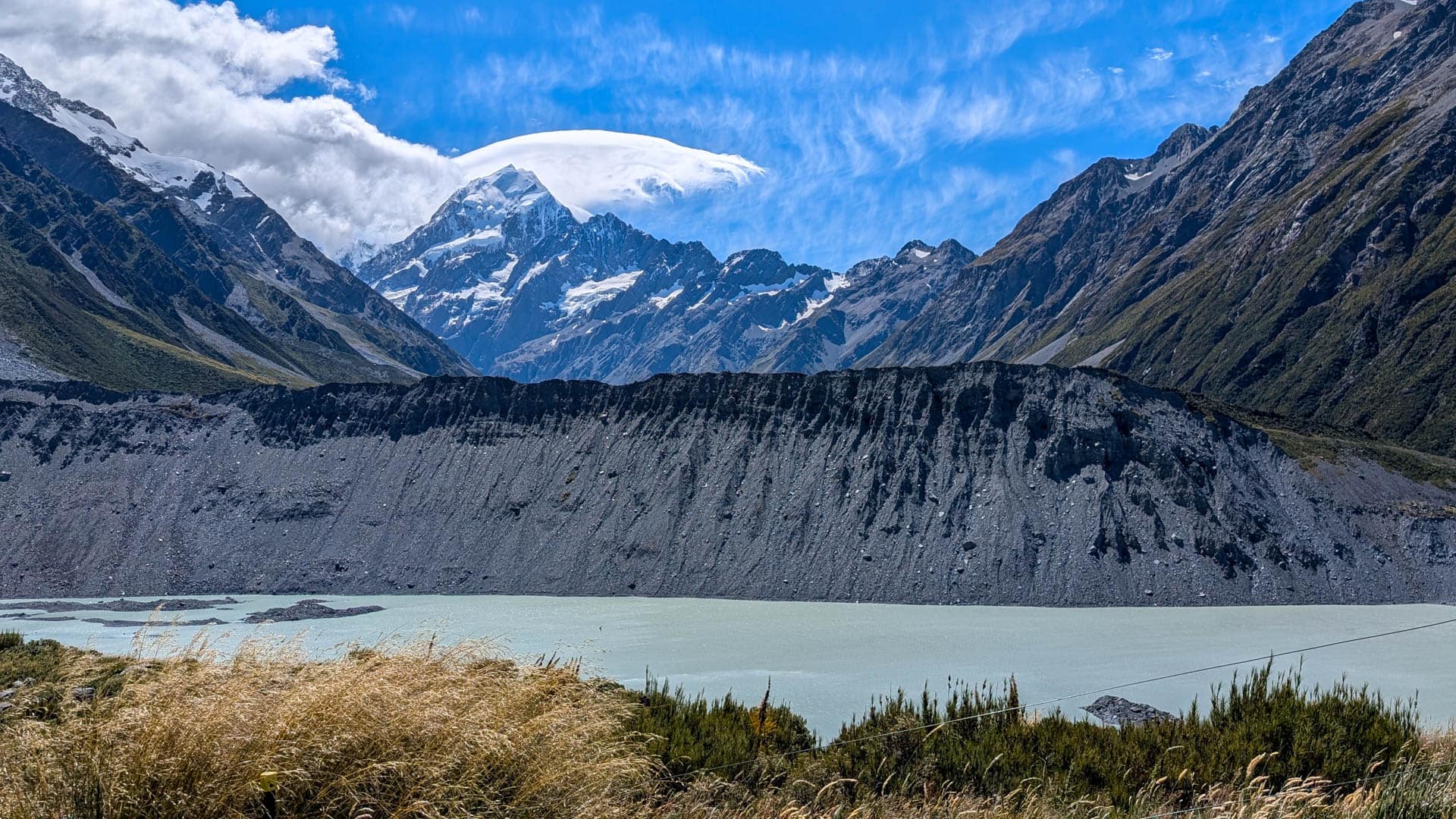
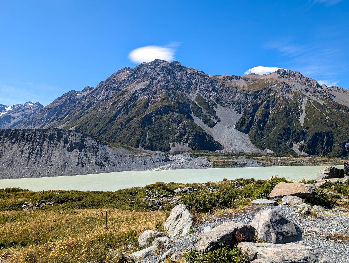
The views are also good heading back, if not as dramatic. We found the Kea Point trail just as scenic a Hooker Valley, but we weren’t able to do the entire Hooker Valley track. That might make some of the Kea Point views redundant. Overall the trail was easy, with only some short uphills near the end.