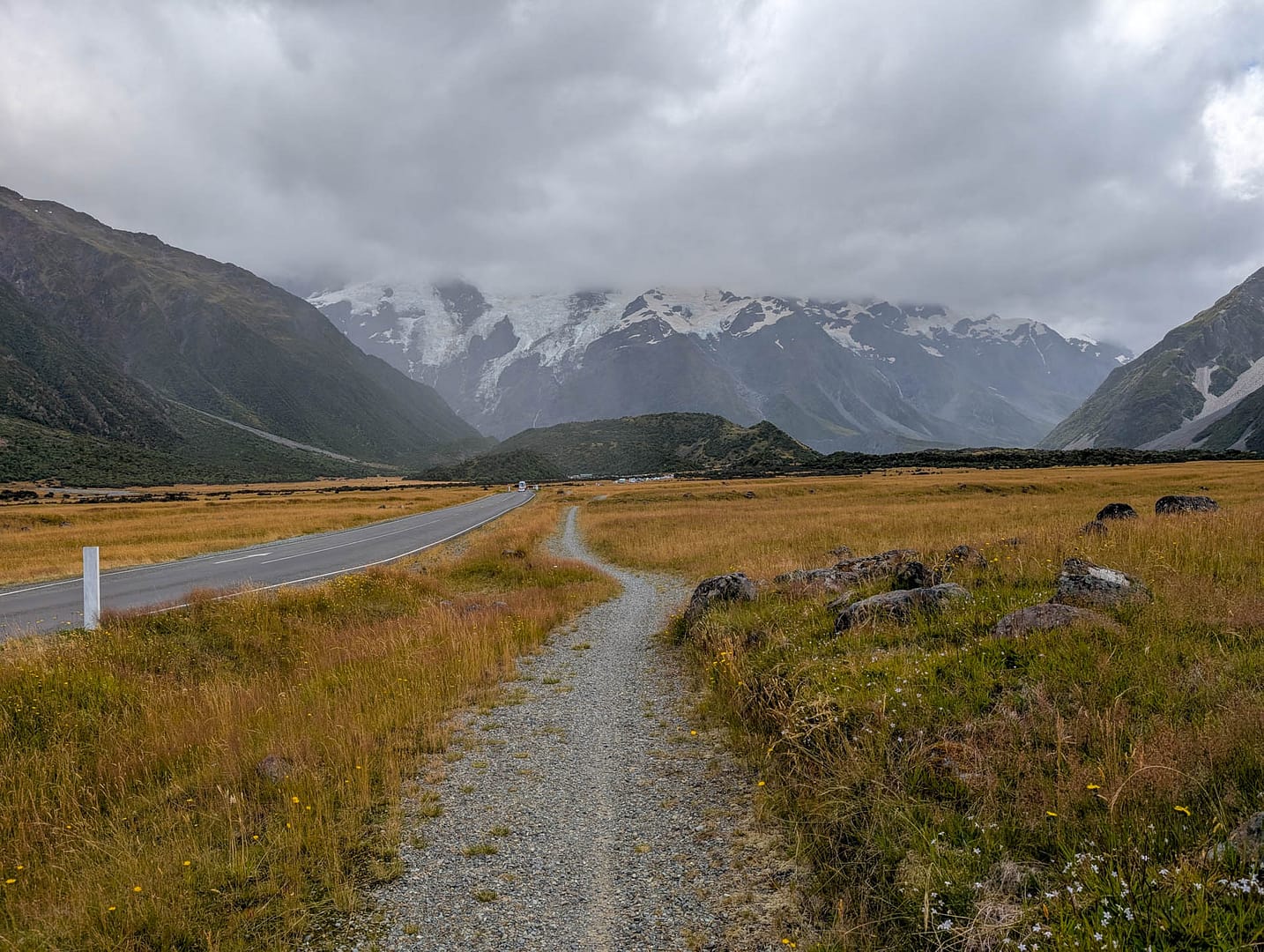
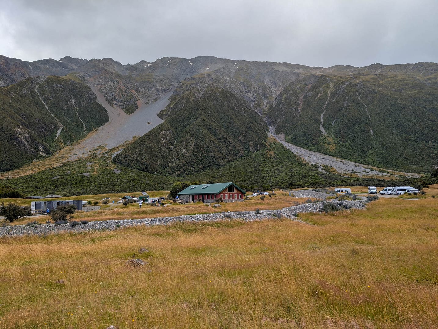
Since we were staying in Mt Cook village, our walk began by walking alongside the road to the trailhead. There’s a separate path so you don’t have to walk along the shoulder of the road. It’s a substantial trailhead with campground nearby, and a parking fee. Beyond that the wide gravel path heads into the mountain valley.
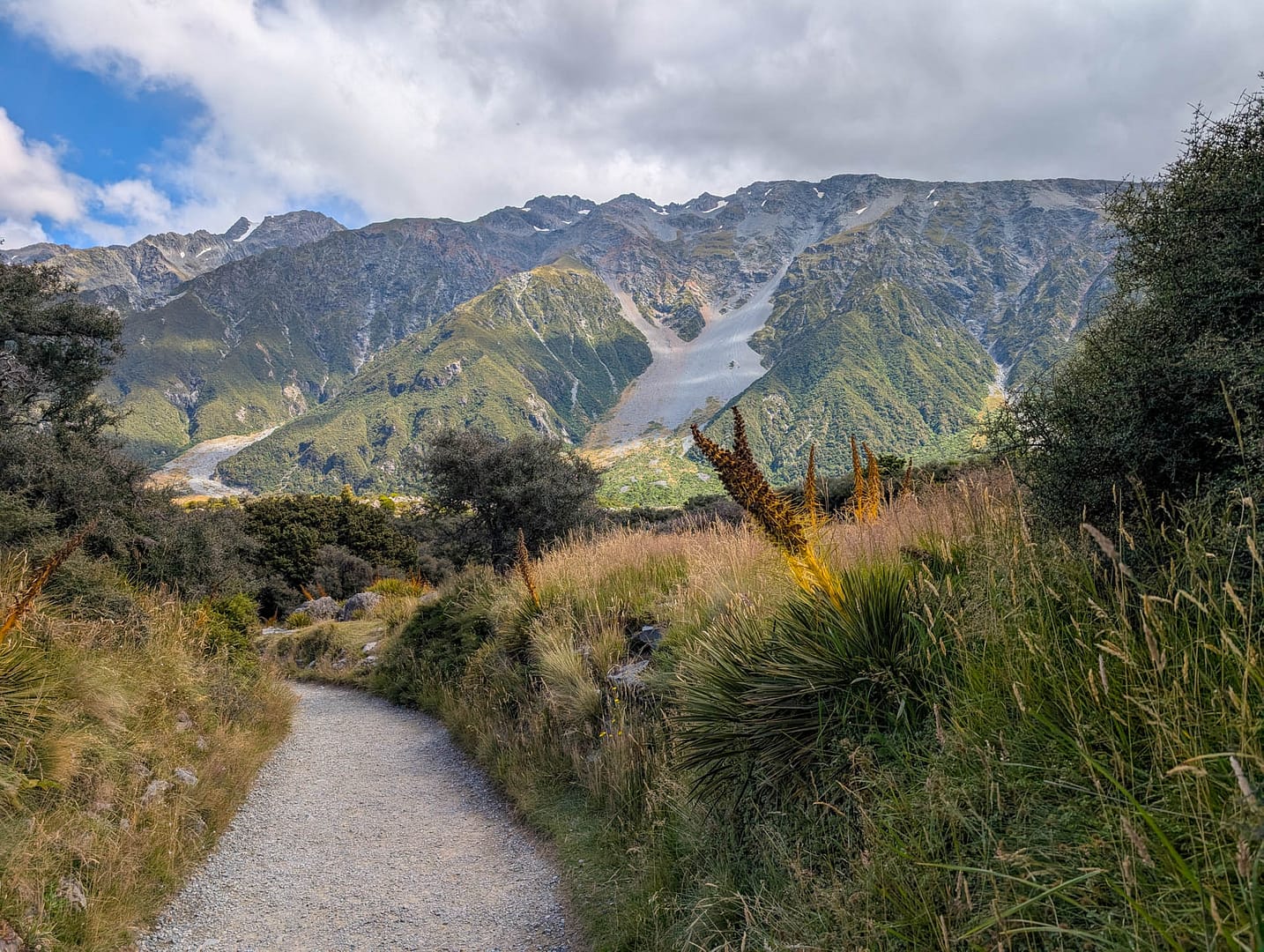
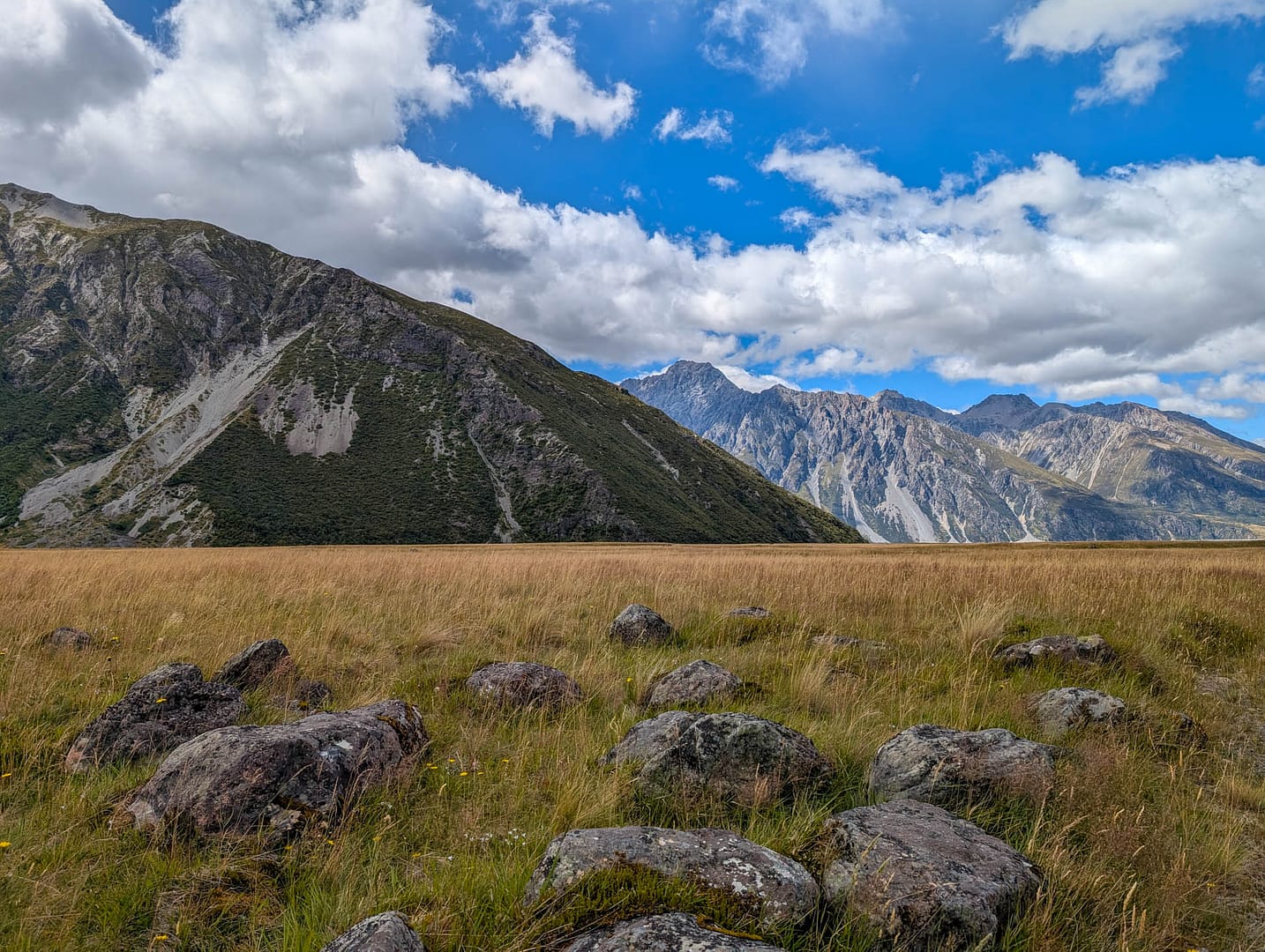
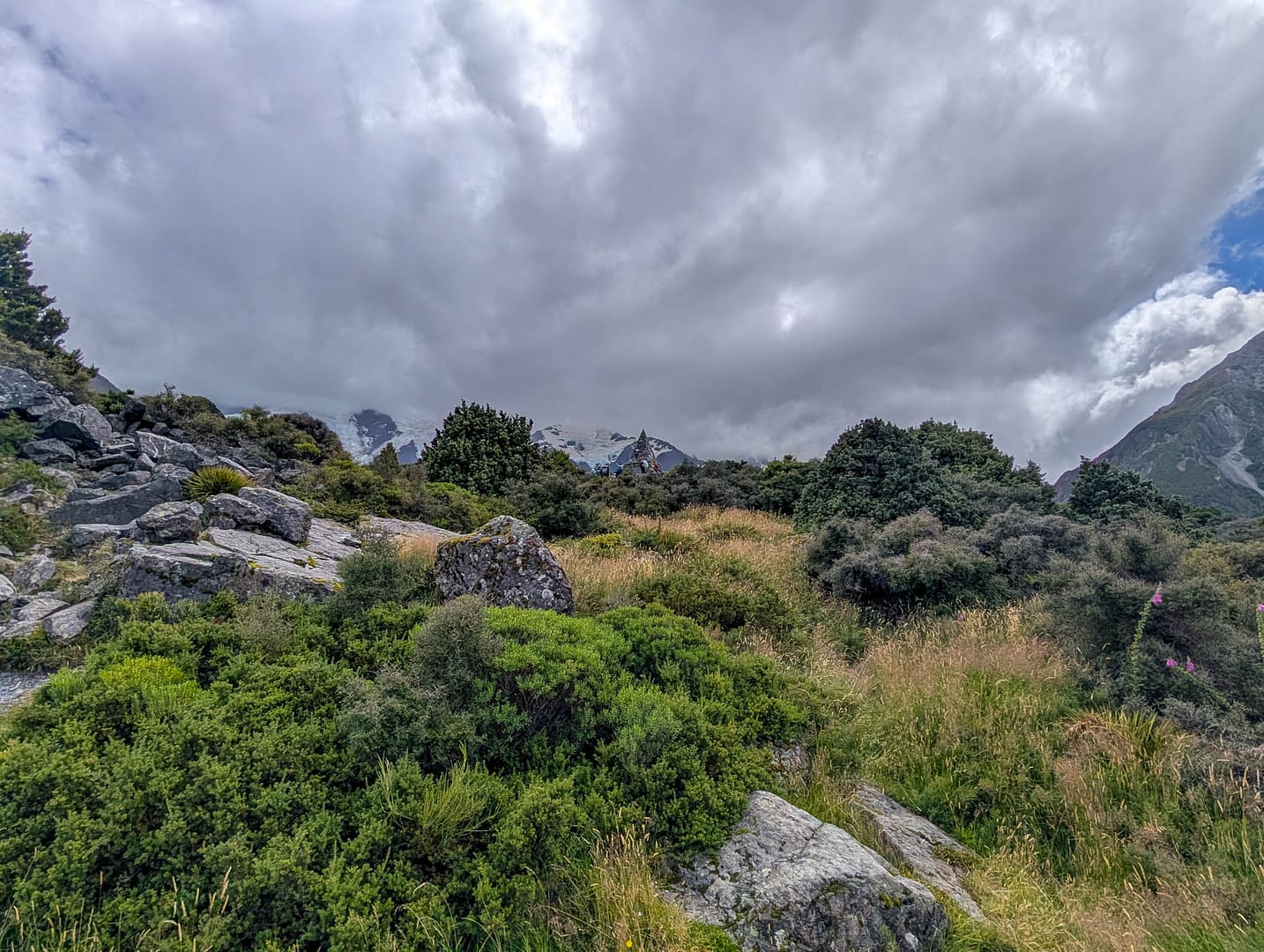
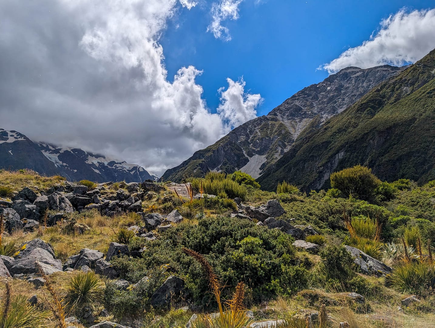
The first stretch goes through grasslands. Then rocky outcropping start appearing. The track passes the Alpine Memorial, which you can barely see from the trail.
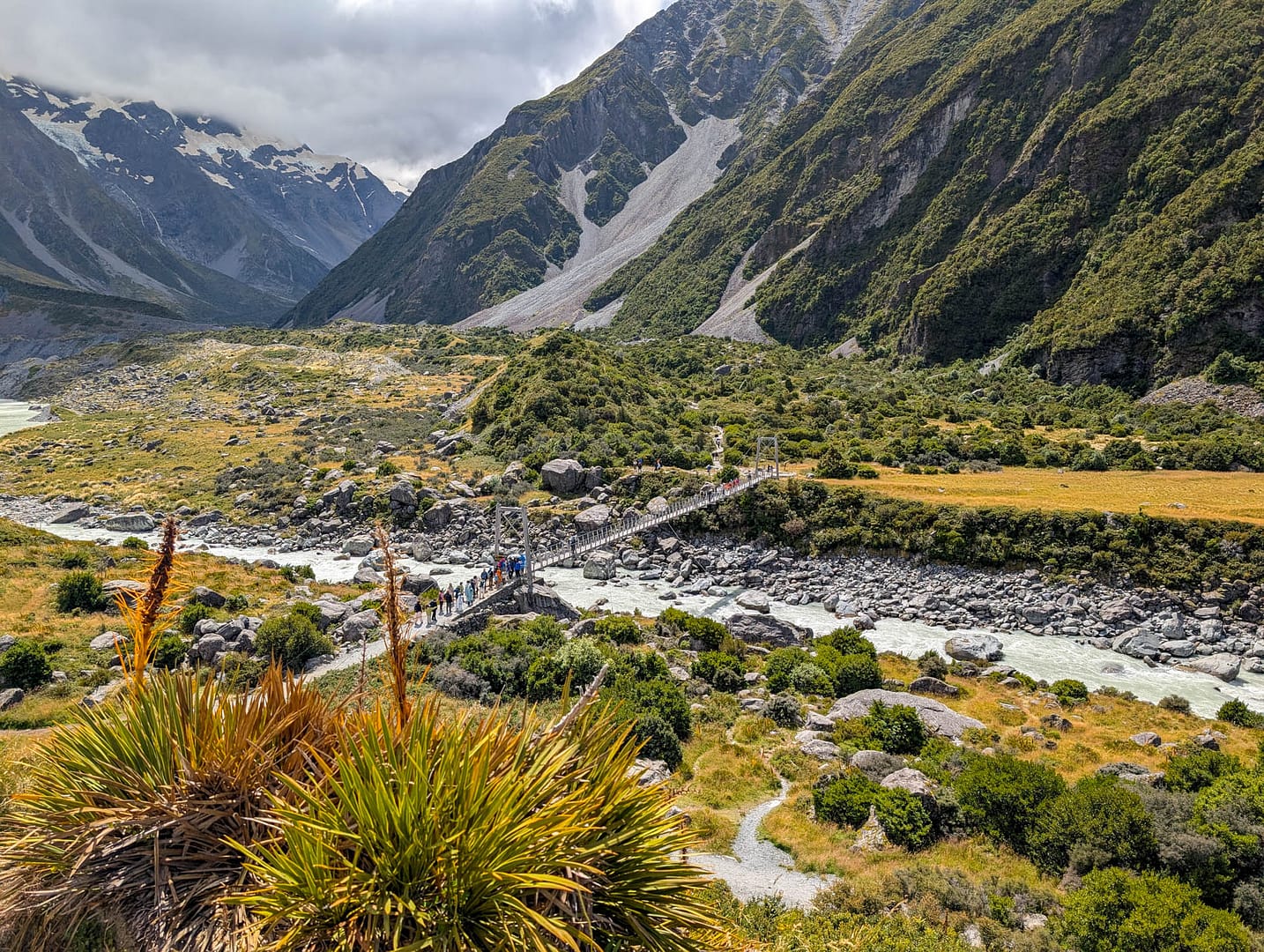
The suspension bridge is the only stretch that’s at all difficult. There are steps leading down to the bridge that are narrower and rockier than the rest of the path, and well-maintained. The bridge has a stated capacity of 25 people so it’s fun trying to figure out when you can safely cross.
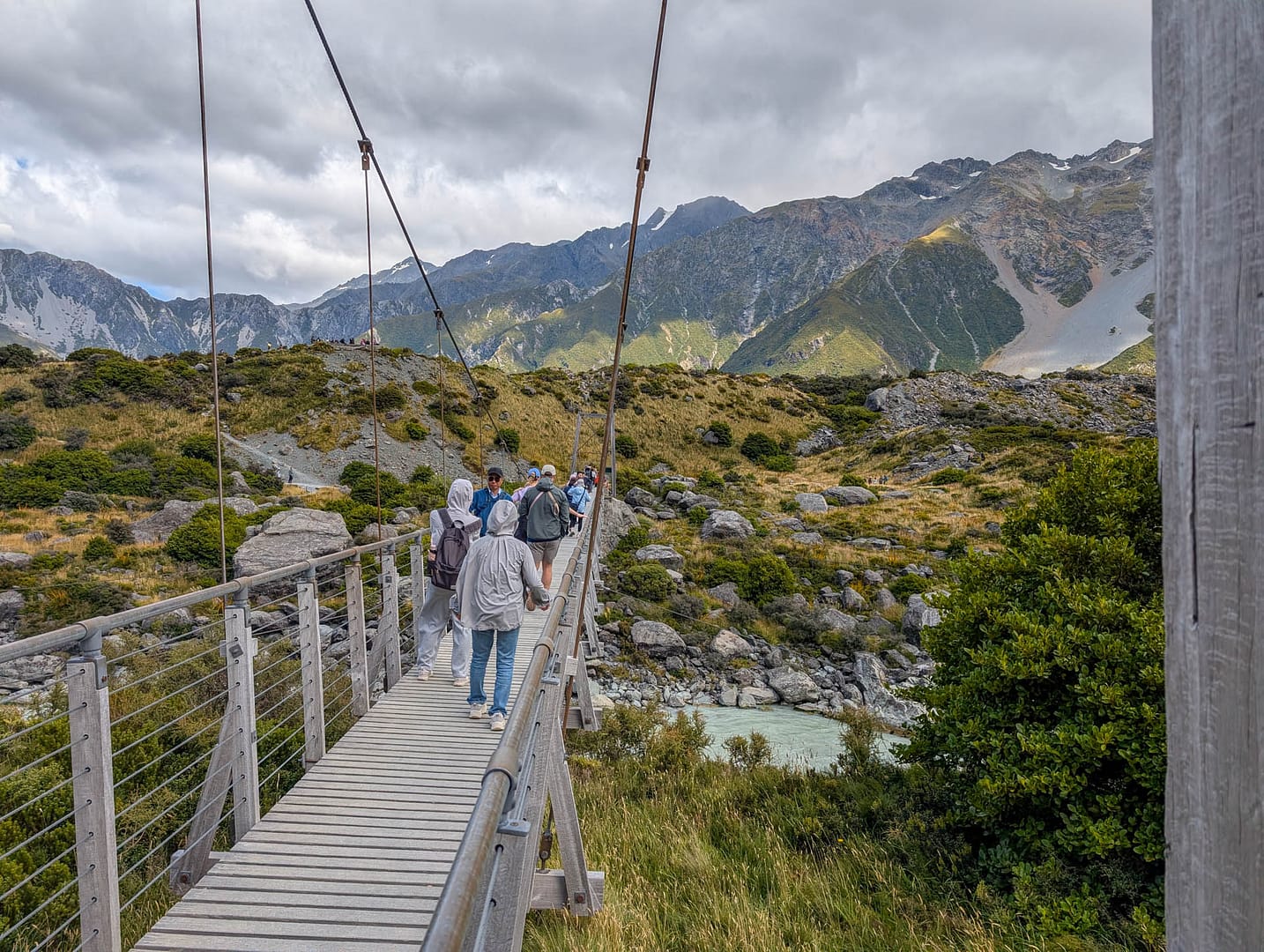
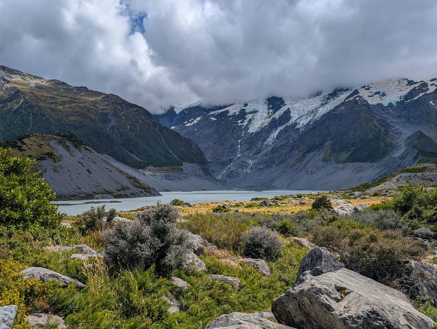
After crossing the bridge you start seeing water more frequently, both streams and lakes.
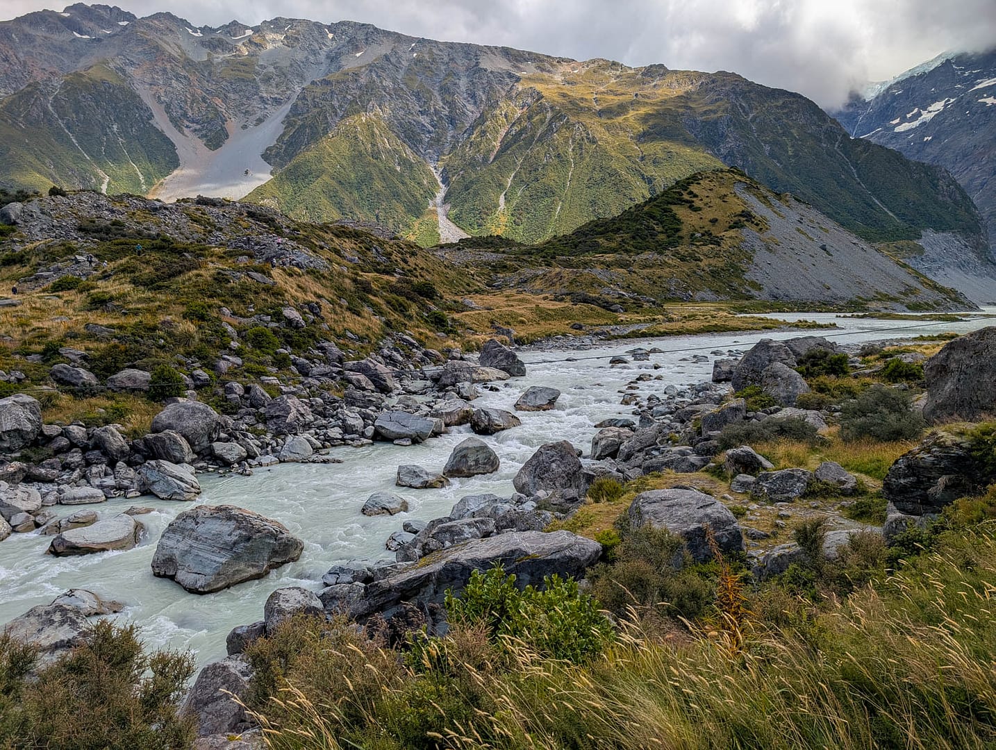
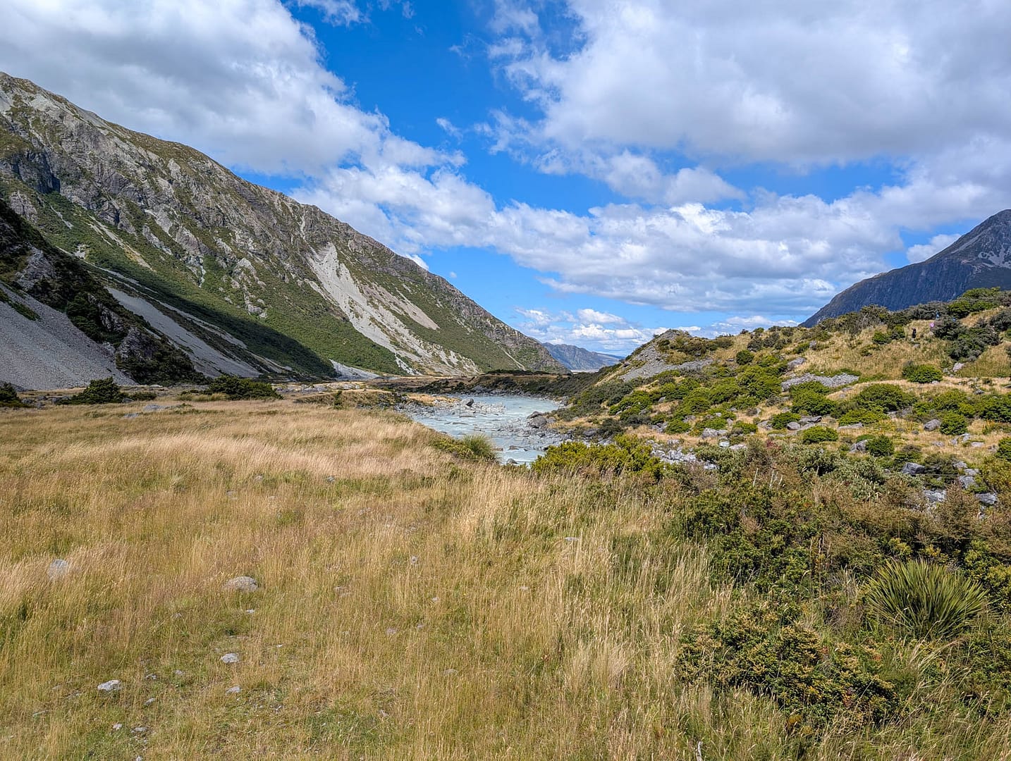
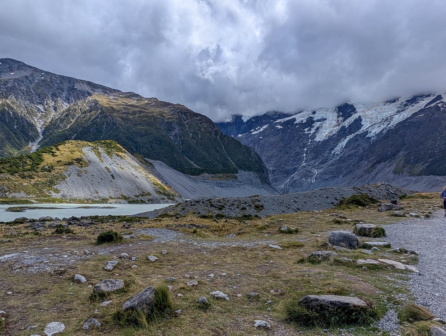
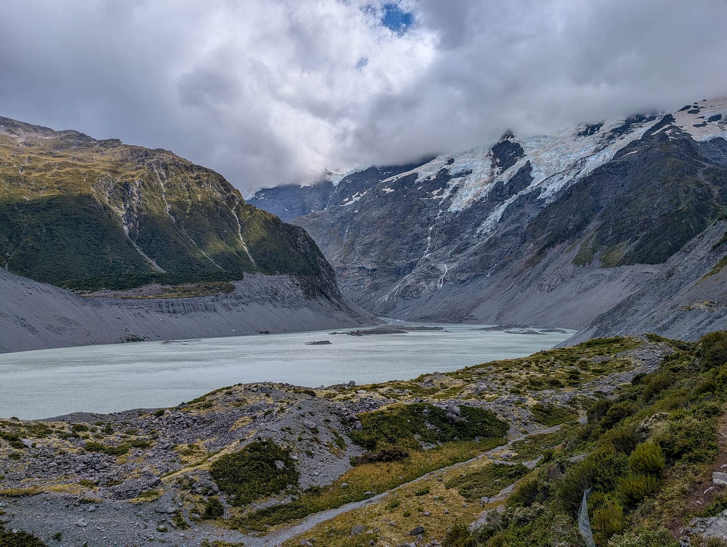
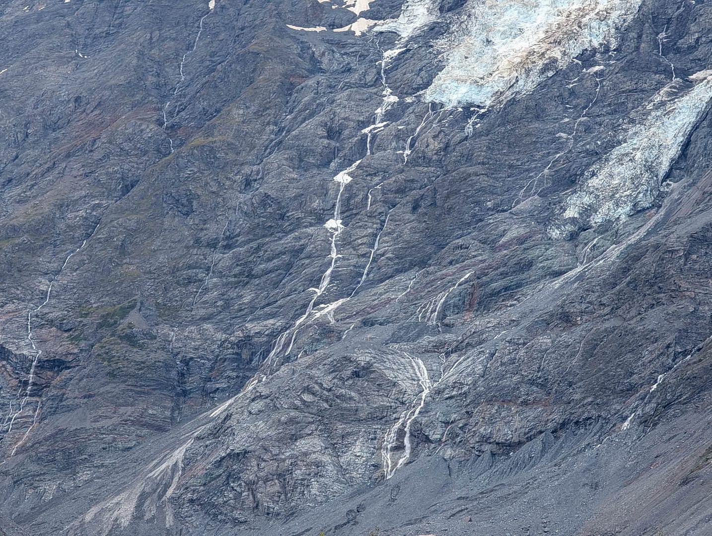
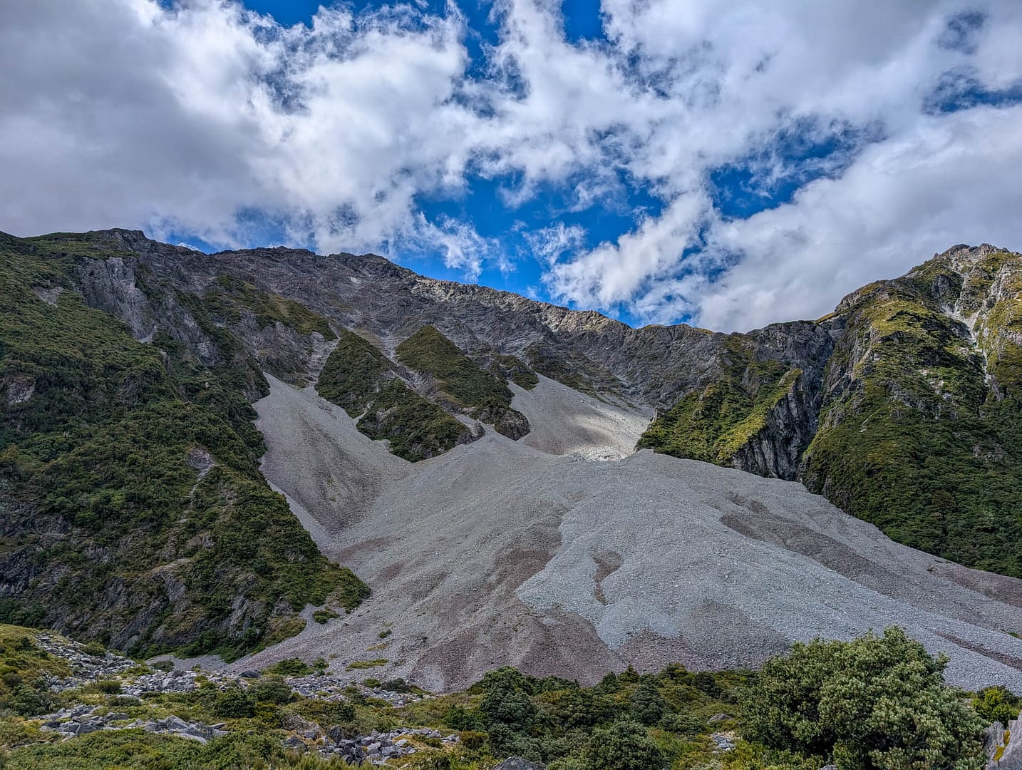
And the odd waterfall on the distant mountains. Plus land/rock slides. Since the end of the trail was closed there was no “wow” moment at the end, just a barrier across the path. The work is scheduled to be finished this winter.
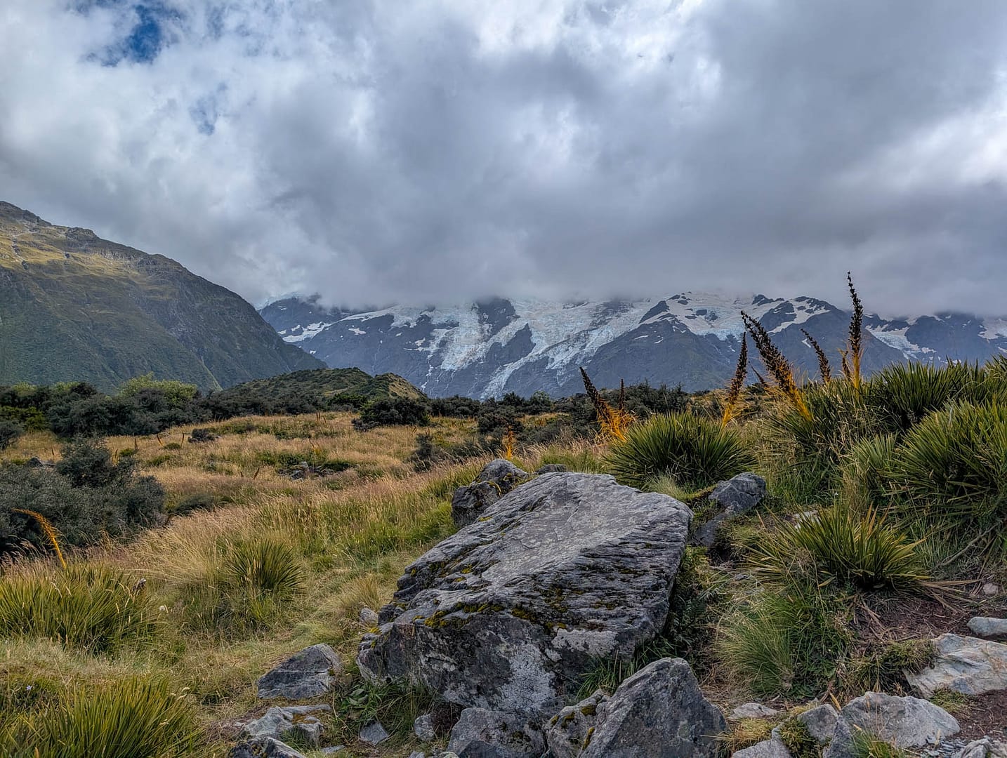
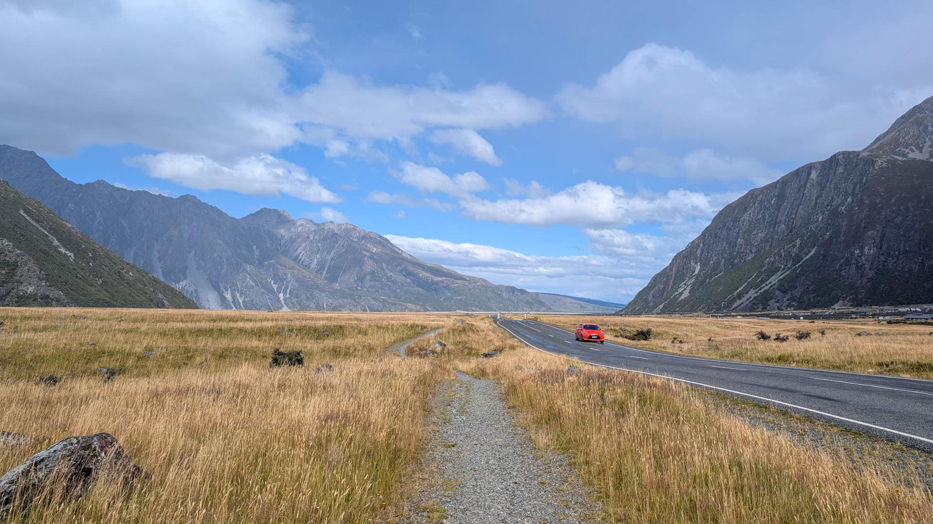
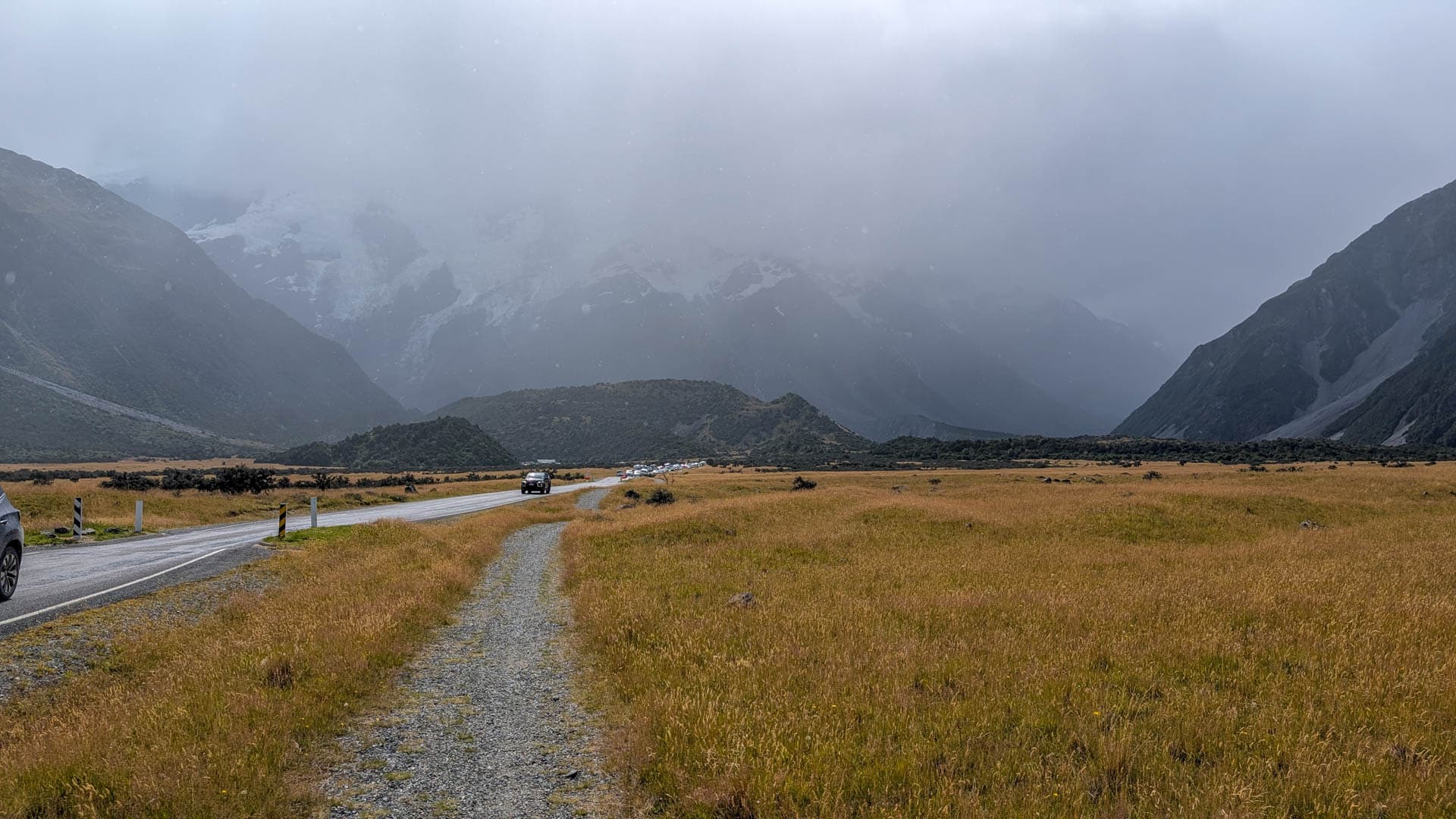
As we headed back to the hotel, on the left is what we saw ahead of us. On the right is what was behind us. I think we timed our hike well, and they aren’t kidding about conditions changing quickly.
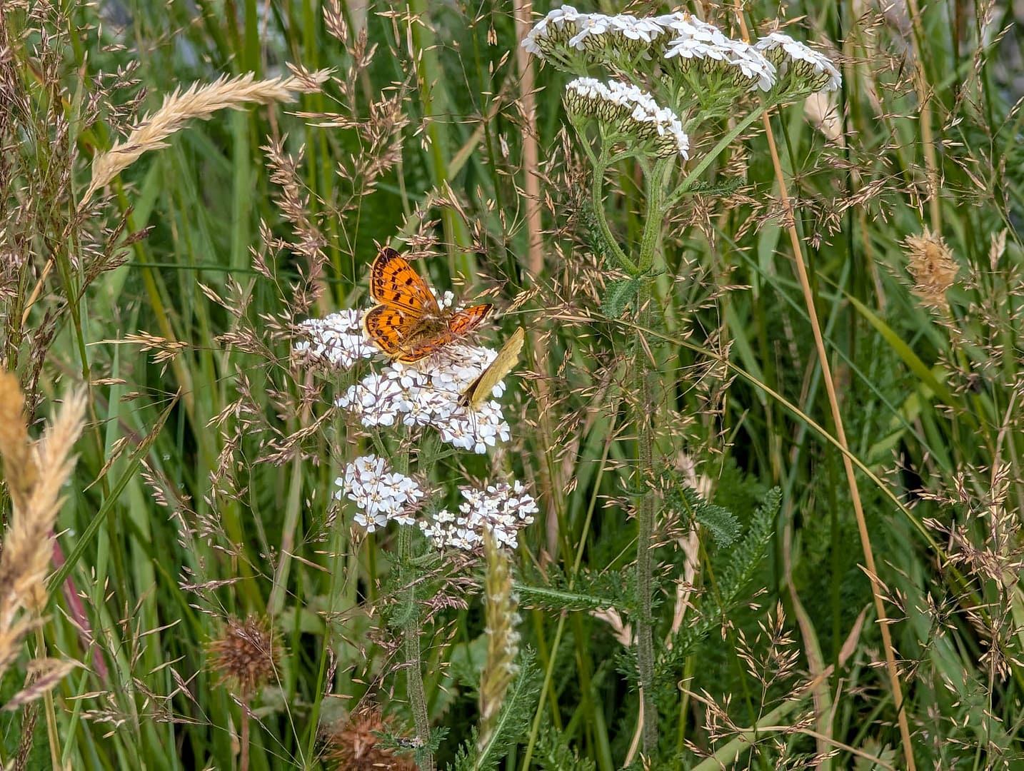
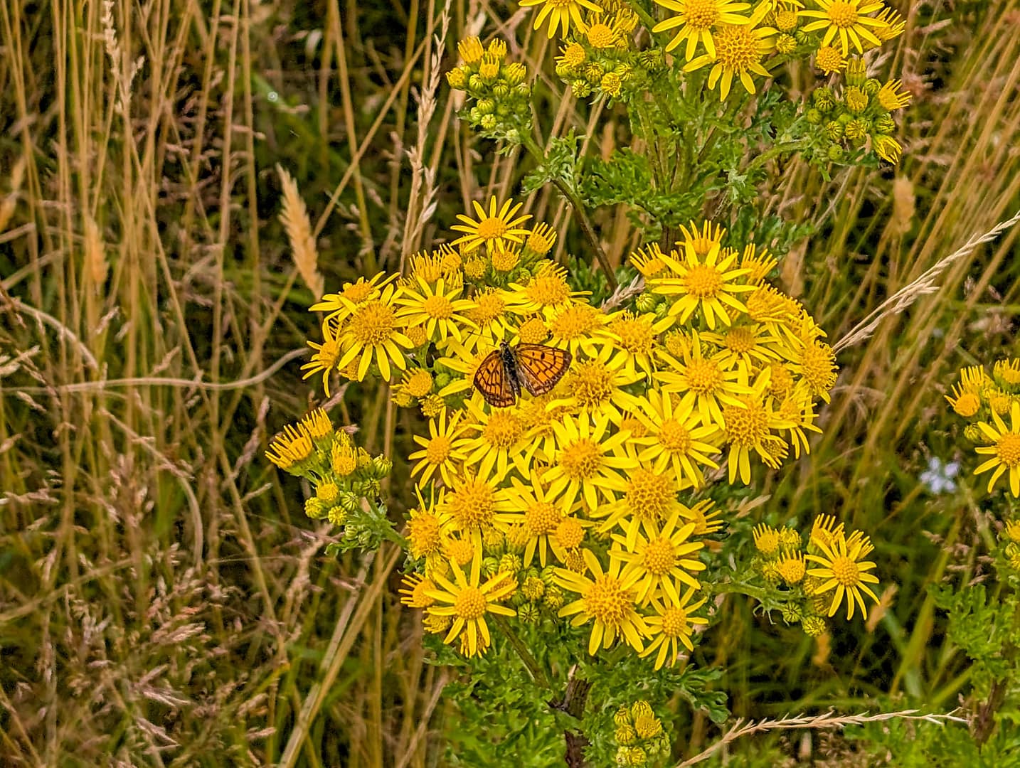
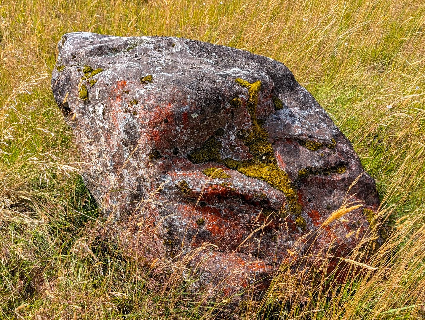
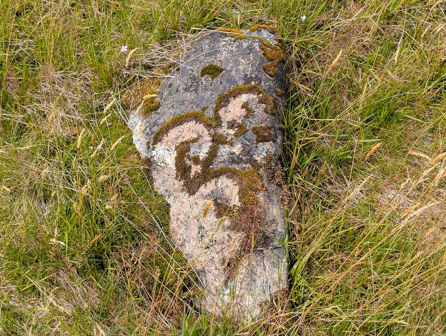
We saw lots of orange butterflies on the walk, along with the odd wildflower and odder rock. We like a good mossy rock.
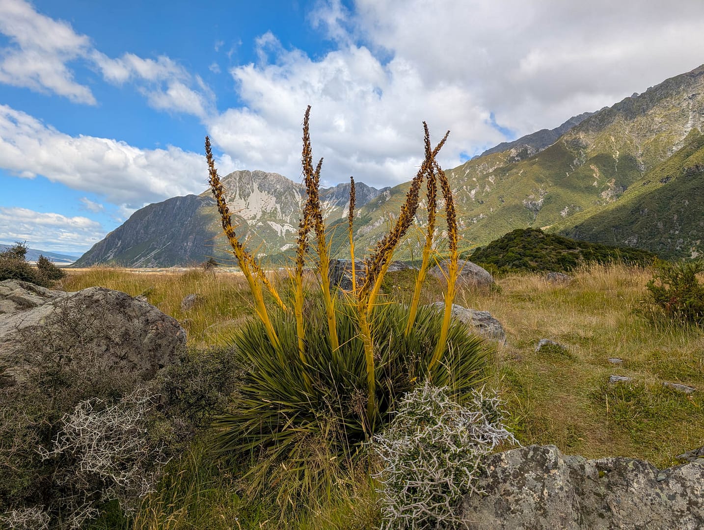
Here’s a last look at the mountains, with some of the spiny local plant life.